Old Maps of Willow Creek, Wyoming for Academic Research
Study the evolution of Willow Creek with 9 high-resolution historic maps. Whether you're teaching, researching, or modeling changes in land use, these maps provide essential visual documentation of urban, environmental, and geographic change.
- Analyze long-term change: Track patterns in development, transportation, and natural features.
- Ideal for environmental or urban studies: Support academic projects with primary historical map data.
- Use in the classroom or lab: Educators and researchers rely on these maps to bring historical context to life.
These maps are a powerful tool for teaching, research, and visualizing how Willow Creek has changed over the decades.
Willow Creek, WY maps
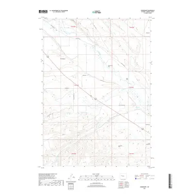
(9)- 1952 Map of Crowheart, 1954 Print
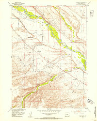 1952 Crowheart1954 Print · USGSThe Wind River Valley during the early fifties reveals a remote ranching and reservation landscape defined by essential water works. Genealogists and local historians can locate the Burris-Crowheart School, St Helen Church, and the Government Ditch Camp.3 unique versions available
 - 1955 Map of Thermopolis, 1969 Print
 1955 Thermopolis1969 Print · USGSMid-century Wyoming comes alive in this survey of the Wind River basin and the high Absaroka peaks. Trace the roots of oil and water development through the Hamilton Dome Oil Field and the Boysen Reservoir, or locate local landmarks like the Wyoming Industrial Institute and St. Stephens.2 unique versions available
 - 1958 Map of Thermopolis
 1958 Thermopolis1958 Print · USGSThe Bighorn Basin and Wind River Reservation are shown here in the late fifties, during a period of significant petroleum and agricultural growth. Genealogists and historians can trace rail-towns like Gebo, energy hubs like the Hamilton Dome Oil Field, and the layout of Fort Washakie.2 unique versions available
 - 1962 Map of Thermopolis
 1962 Thermopolis1962 Print · USGSThe Wind River and Bighorn basins are meticulously mapped in the early sixties, showing the vital irrigation and rail networks of the era. Genealogists and historians can locate specific landmarks like the Duncan Ranch School, the Wyoming Industrial Institute, and the Hamilton Dome oil field.
 - 1978 Map of Gannett Peak, 1979 Print
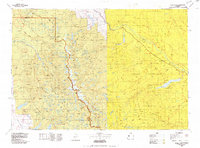 1978 Gannett Peak1979 Print · USGSThe high peaks of the Wind River Range meet the plains in the late seventies. Researchers can trace the Continental Divide past Gannett Peak or locate riverfront settlements like Crowheart and Burris.2 unique versions available
 - 2012 Map of Crowheart, 2012 Print
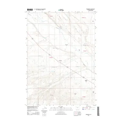
 2012 Crowheart2012 Print · USGSCovers Willow Creek, including Crowheart, Fremont County, and other nearby areas
 - 2015 Map of Crowheart, 2015 Print
 2015 Crowheart2015 Print · USGSCovers Willow Creek, including Crowheart, Fremont County, and other nearby areas
 - 2017 Map of Crowheart, 2017 Print
 2017 Crowheart2017 Print · USGSCovers Willow Creek, including Crowheart, Fremont County, and other nearby areas
 - 2021 Map of Crowheart, 2021 Print
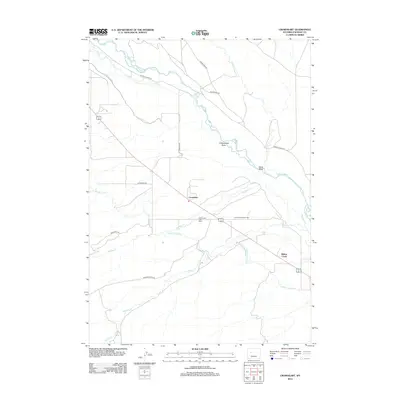
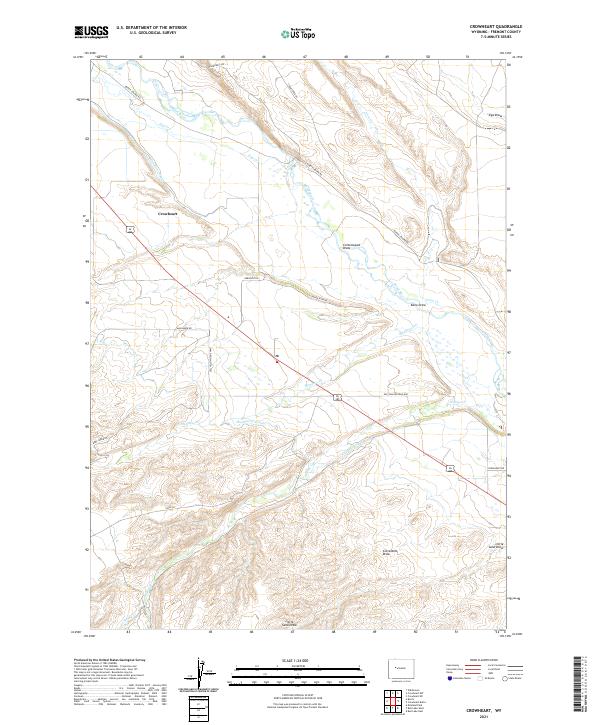 2021 Crowheart2021 Print · USGSThis Wyoming landscape in the early twenty-first century reveals a complex network of ranching and water rights centered around Crowheart. Researchers can trace old property access and irrigation systems through features like the Meadow Cr Canal and Burris-Lenore Rd.
End of results
Showing maps 1-9 of 9
Frequently asked questions
- What are the different types of historical maps available for Willow Creek?
- What is the oldest map of Willow Creek?
- Where can I purchase historical maps of Willow Creek for my home or office?
- Where can I download high-res historical maps of Willow Creek?
- Are there historical topographic maps available for Willow Creek?
- Is there historical aerial imagery available for Willow Creek?
- Where are historical maps of Willow Creek sourced from?