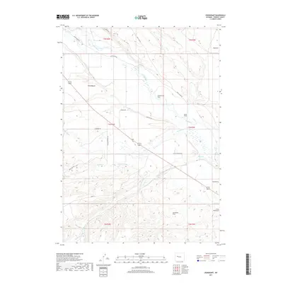
2017 Map of Crowheart
USGS Topo · Published 2017About this map
Crowheart serves as the central settlement in this Wyoming landscape, where the Wind River and a sophisticated network of irrigation systems define the land's utility. The presence of the Wind River Canal, Meadow Cr Canal, and Willow Cr Canal illustrates a coordinated effort to manage water resources across the basin. This infrastructure supports local ranching and transit through a grid of named routes like the Old Yellowstone Hwy and Burris-Lenore Rd.
Find a feature on this map
33 named features on this map. Tap any name to fly to it.
Don’t see what you’re looking for? This feature index may not catch every label — zoom into the map to look around manually.
Map Details
Editions of this 2017 Crowheart Map
This is the sole edition of this map. No revisions or reprints were ever made.
Other maps of this area

1951 · Bull Lake East
USGS Topo · 1:24,000

1952 · Wilderness
USGS Topo · 1:24,000

1952 · Crowheart Butte
USGS Topo · 1:24,000

1952 · Crowheart NW
USGS Topo · 1:24,000

1952 · Crowheart NE
USGS Topo · 1:24,000

1952 · Bull Lake West
USGS Topo · 1:24,000

1952 · Crowheart
USGS Topo · 1:24,000

1952 · Burris
USGS Topo · 1:24,000

1952 · Kirkland Park
USGS Topo · 1:24,000

1955 · Thermopolis
USGS Topo · 1:250,000