Old Maps of Wyopo, Wyoming for Metal Detecting
Plan your next treasure hunt with 12 historic maps of Wyopo. Find old homesites, ghost towns, trails, and gathering spots that may be lost to time — perfect for identifying promising metal detecting locations.
- Locate forgotten sites: Uncover places like long-lost settlements, abandoned rail lines, or gathering spots.
- Plan better hunts: Use map overlays combined with LiDAR or satellite views to narrow in on historically rich areas.
- Made for detectorists: Thousands of hobbyists use these maps to discover relics, coins, and hidden history.
Use these historic maps to boost your research and find new opportunities beneath the surface of Wyopo.
Wyopo, WY maps
(12)- 1952 Map of Lander, 1954 Print
 1952 Lander1954 Print · USGSLander and the eastern edge of the Wind River Indian Reservation are captured here in the early fifties during a period of steady civic growth. Genealogists and researchers can locate the State Training School, the old Iiams School (Aband), and the rail terminus of the Chicago and North Western line.
 - 1955 Map of Lander, 1976 Print
 1955 Lander1976 Print · USGSMid-century central Wyoming is captured here as a landscape of high alpine wilderness and burgeoning energy development. Genealogists and historians can trace the path of the Oregon Trail or locate early industrial sites like the Big Sand Draw Oil and Gas Field and the State Training School.2 unique versions available
 - 1958 Map of Lander
 1958 Lander1958 Print · USGSThe high peaks of the Wind River Range meet the Great Divide Basin in the 1950s. Researchers can trace historic migrations past the Oregon Trail Monument or locate early energy infrastructure at the Beaver Creek Gas and Oil Field and the Oregon Trail Oil Field.
 - 1960 Map of Lander, 1961 Print
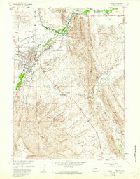 1960 Lander1961 Print · USGSLander and the Popo Agie River valley are captured here in the early 1960s, showing a landscape defined by irrigation and early industry. Researchers can trace the Chicago and Northwestern tracks to Hudson Siding or locate local landmarks like Mt Hope Cem and the historic Ft McGraw.3 unique versions available
 - 1961 Map of Lander
 1961 Lander1961 Print · USGSThe high peaks and desert basins of central Wyoming appear here in the early sixties, showing the landscape of the Shoshone Indian Reservation and the Wind River Range. Researchers can trace the path of the Oregon Trail and locate early settlements like Lander and the mining remains at South Pass City.2 unique versions available
 - 1978 Map of Lander, 1979 Print
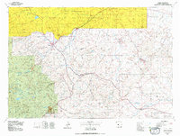 1978 Lander1979 Print · USGSFremont County settlement and energy development are captured here in the late seventies. Trace historic western migrations along the EMIGRANT TRAIL and Baldwin Trail, or locate industrial sites like the Columbia-Geneva Mines and Dallas Oil Field.2 unique versions available
 - 1978 Map of Lander, 1991 Print
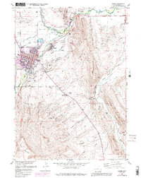 1978 Lander1991 Print · USGSLander and the Popo Agie River valley are shown here in the late seventies as the community grew between the river and the mountain ridges. Researchers can trace local history through sites like the Mt Hope Cem, the State Training Sch, and the Chicago and North Western Railroad.
 - 2012 Map of Lander, 2012 Print
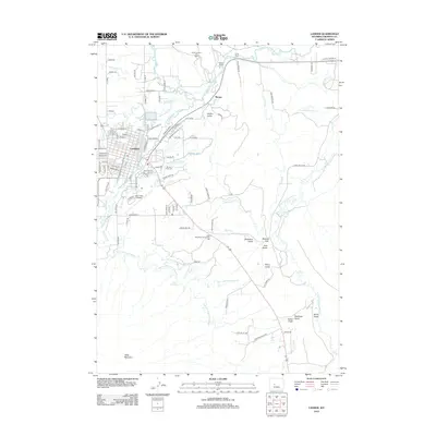 2012 Lander2012 Print · USGSSt. Louis and the surrounding riverfront settlements appear at a peak of rail-driven industrial growth in the early 20th century. Genealogists can locate family homes near Forest Park or track ancestors working at the National Stock Yards.
 - 2015 Map of Lander, 2015 Print
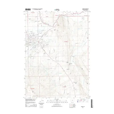 2015 Lander2015 Print · USGSLander and the surrounding river forks appear in high detail during this contemporary era, showing a community defined by its intricate irrigation and mountain drainages. Genealogists and researchers can locate Mount Hope Cem, trace the North Popo Agie River, and explore named terrain like Coal Gulch.
 - 2017 Map of Lander, 2017 Print
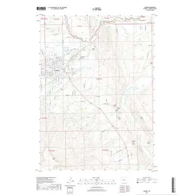 2017 Lander2017 Print · USGSLander and the surrounding valley are shown in detail during the late twenty-teens, highlighting a landscape shaped by water and high-plains geography. Genealogists and local historians can trace the irrigation networks of the Grant-Young Ditch or locate family sites near Mount Hope Cem and the small settlement of Lyons Valley.
 - 2021 Map of Lander, 2021 Print
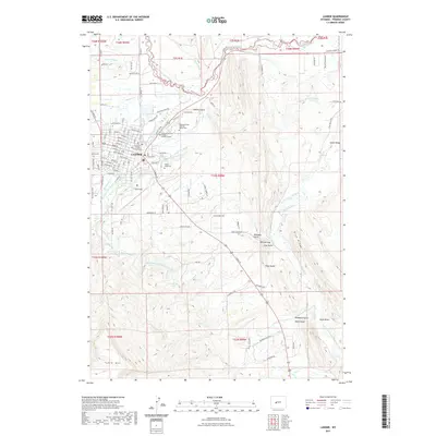 2021 Lander2021 Print · USGSLander sits at the confluence of the Popo Agie forks during the early 21st century, revealing a landscape shaped by water and high-altitude terrain. Researchers can trace local genealogy at Mount Hope Cem and study historical water rights through the Nicol Table Mountain Ditch and Sioux Ditch.
 - 2023 Map of Lander, 2023 Print
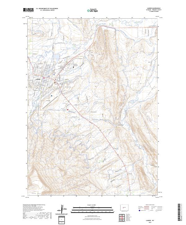 2023 Lander2023 Print · USGSLander and its surrounding river forks are documented in this contemporary survey of central Wyoming. Researchers can trace the complex irrigation network of the Sioux Ditch, locate the Mount Hope Hope Cem, or explore the canyon geography of Deadman Gulch.
End of results
Showing maps 1-12 of 12
Top cities near Wyopo
- Riverton historical maps
- Lander historical maps
- Fort Washakie historical maps
- Ethete historical maps
- Hudson historical maps
Frequently asked questions
- What are the different types of historical maps available for Wyopo?
- What is the oldest map of Wyopo?
- Where can I purchase historical maps of Wyopo for my home or office?
- Where can I download high-res historical maps of Wyopo?
- Are there historical topographic maps available for Wyopo?
- Is there historical aerial imagery available for Wyopo?
- Where are historical maps of Wyopo sourced from?