Old Maps of Jay Em, Wyoming for Genealogy
Trace your family roots with 10 historic maps of Jay Em. These high-res maps reveal old neighborhoods, homesites, landmarks, and streets — helping you uncover where your ancestors lived and how the area evolved over time.
- Explore historic neighborhoods: Identify where your relatives may have lived in the 1800s or 1900s.
- Compare maps over time: Trace the changes in streets, buildings, and landmarks for multi-generational research.
- Perfect for genealogy & ancestry research: Used by family historians and researchers to map out lineage and migration.
These maps are an incredible resource for exploring your personal connection to Jay Em's past.
Jay Em, WY maps
(10)- 1896 Map of Patrick
 1896 Patrick1896 Print · USGSEastern Wyoming ranching life is frozen in time during the mid-1890s, when family-run operations dominated the high plains. Genealogists can trace early homesteads like Nolan's Ranch, Sturdivant's Ranch, and the early settlement at Torrington.7 unique versions available
 - 1954 Map of Torrington, 1963 Print
 1954 Torrington1963 Print · USGSEastern Wyoming and the Nebraska borderlands are captured here during the mid-fifties, showing a landscape shaped by the Platte River and the Laramie Range. Researchers can trace deep history at the Fort Laramie National Historical Site, the Old Doty Ranch Site, and along the Old Fetterman Road.4 unique versions available
 - 1958 Map of Torrington
 1958 Torrington1958 Print · USGSEastern Wyoming and the Nebraska borderlands are captured in the late fifties, showcasing a landscape of high plains ranching and river-fed industry. Trace the historic paths of the Union Pacific railroad and find legacy sites like Fort Laramie and Sunrise.
 - 1974 Map of Jay Em, 1978 Print
 1974 Jay Em1978 Print · USGSThe Goshen County high plains in the 1970s reveal a landscape of isolated ranches and historic routes. Researchers can trace the path of the Ft Laramie Road and locate rural landmarks like Jay Em and the Sixmile Creek Ranch.2 unique versions available
 - 1978 Map of Torrington
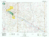 1978 Torrington1978 Print · USGSSoutheast Wyoming in the late seventies reveals a landscape shaped by the North Platte River and a dense network of major rail lines. Researchers can locate the Fort Laramie National Historic Site, the Camp Guernsey Training Area, and original stops along the Union Pacific railroad.2 unique versions available
 - 1990 Map of Jay Em, 1995 Print
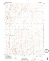 1990 Jay Em1995 Print · USGSThe High Plains of Goshen County come into focus in the early nineties, centered on the historic settlement of Jay Em. Researchers can trace the path of FT. LARAMIE RD and locate local landmarks such as the Cemetery and Sixmile Creek Ranch.
 - 2012 Map of Jay Em, 2012 Print
 2012 Jay Em2012 Print · USGSCovers Jay Em, including Goshen County, United States, and other nearby areas
 - 2015 Map of Jay Em, 2015 Print
 2015 Jay Em2015 Print · USGSCovers Jay Em, including Goshen County, United States, and other nearby areas
 - 2017 Map of Jay Em, 2017 Print
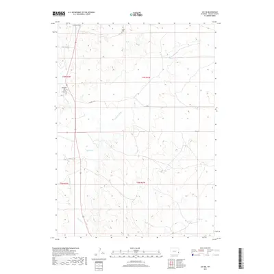 2017 Jay Em2017 Print · USGSCovers Jay Em, including Goshen County, United States, and other nearby areas
 - 2021 Map of Jay Em, 2021 Print
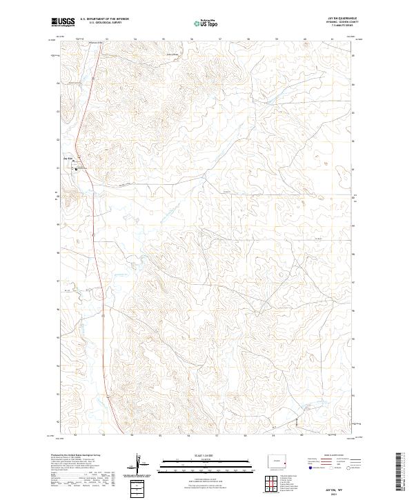 2021 Jay Em2021 Print · USGSIn the open ranch lands of Goshen County during the early twenty-first century, this area centers on the small community of Jay Em. Genealogists and local historians can trace family locations through Forest Mound Cem and along the banks of Rawhide Cr.
End of results
Showing maps 1-10 of 10
Frequently asked questions
- What are the different types of historical maps available for Jay Em?
- What is the oldest map of Jay Em?
- Where can I purchase historical maps of Jay Em for my home or office?
- Where can I download high-res historical maps of Jay Em?
- Are there historical topographic maps available for Jay Em?
- Is there historical aerial imagery available for Jay Em?
- Where are historical maps of Jay Em sourced from?