Old Maps of Silver Tip, Wyoming for Academic Research
Study the evolution of Silver Tip with 9 high-resolution historic maps. Whether you're teaching, researching, or modeling changes in land use, these maps provide essential visual documentation of urban, environmental, and geographic change.
- Analyze long-term change: Track patterns in development, transportation, and natural features.
- Ideal for environmental or urban studies: Support academic projects with primary historical map data.
- Use in the classroom or lab: Educators and researchers rely on these maps to bring historical context to life.
These maps are a powerful tool for teaching, research, and visualizing how Silver Tip has changed over the decades.
Silver Tip, WY maps
(9)- 1899 Map of Goshen Hole
 1899 Goshen Hole1899 Print · USGSThe High Plains of the Wyoming-Nebraska borderlands come into focus at the close of the nineteenth century. Researchers can trace the early cattle ranching economy through named homesteads like Greasewood Ranch and Robb's Ranch, and locate landmarks such as Ninemile Rock.4 unique versions available
 - 1954 Map of Cheyenne, 1963 Print
 1954 Cheyenne1963 Print · USGSSoutheastern Wyoming's high plains and the capital city's mid-century expansion are documented here during the early Cold War. Genealogists and historians can trace rail-aligned settlements like Pine Bluffs and Hillsdale, or explore landmarks like the Ames Monument and Francis E. Warren Air Force Base.3 unique versions available
 - 1958 Map of Cheyenne
 1958 Cheyenne1958 Print · USGSSoutheast Wyoming and the Nebraska border appear in the late 1950s as a hub of military defense and rail commerce. Genealogists can trace the Union Pacific through Cheyenne or locate the Horse Creek Oil Field and the State Capitol.2 unique versions available
 - 1960 Map of Yoder, 1962 Print
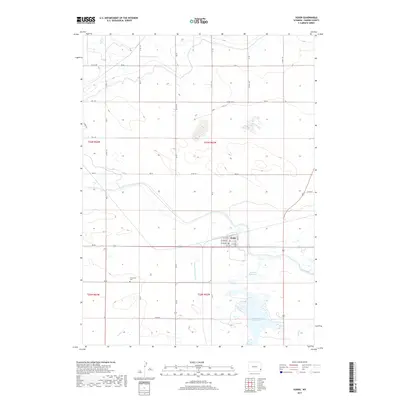
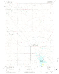 1960 Yoder1962 Print · USGSSoutheast Wyoming’s high plains and irrigation networks are on full display during the early 1960s. Genealogists and local historians can trace the Union Pacific rail corridor through Yoder and locate the sprawling Greasewood Ranch and Goshen Hole (Springer) Reservoir.3 unique versions available
 - 1990 Map of Yoder, 1995 Print
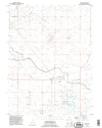 1990 Yoder1995 Print · USGSIn the 1990s, the Wyoming high plains around Goshen County were defined by a complex irrigation network and cattle ranching. Researchers can trace the layout of the Yoder settlement, locate the Greasewood Ranch, and follow the path of the Fort Laramie Canal.
 - 2012 Map of Yoder, 2012 Print
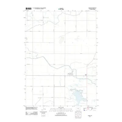 2012 Yoder2012 Print · USGSCovers Silver Tip, including Yoder, Goshen County, and other nearby areas
 - 2015 Map of Yoder, 2015 Print
 2015 Yoder2015 Print · USGSCovers Silver Tip, including Yoder, Goshen County, and other nearby areas
 - 2017 Map of Yoder, 2017 Print
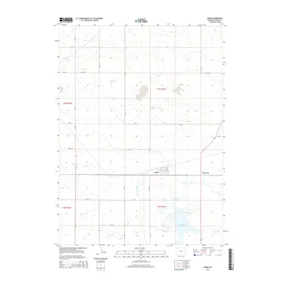
 2017 Yoder2017 Print · USGSCovers Silver Tip, including Yoder, Goshen County, and other nearby areas
 - 2021 Map of Yoder, 2021 Print
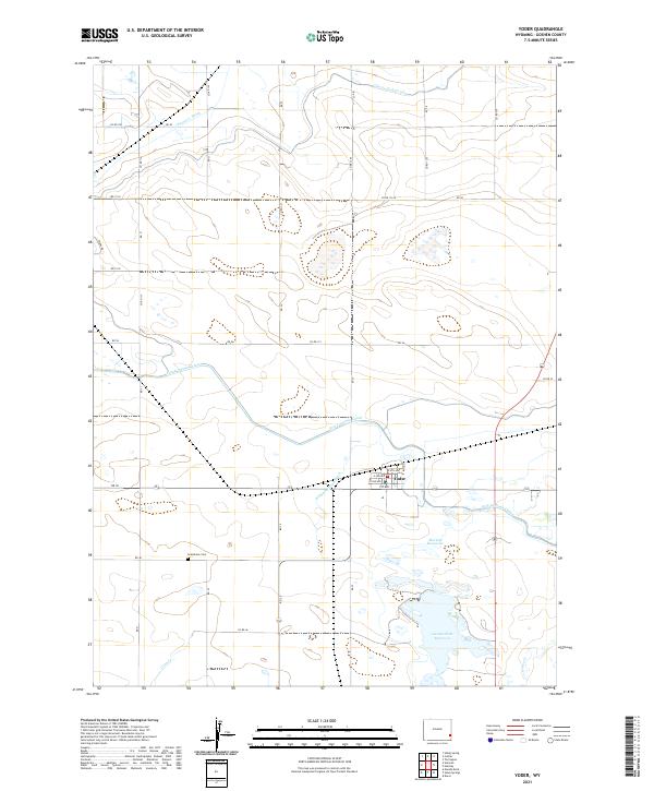 2021 Yoder2021 Print · USGSThe town of Yoder and its surrounding irrigation network are captured here in the early twenty-first century. Researchers can locate Grandview Cem and trace the complex water systems of the Fort Laramie Canal and Goshen Hole Reservoir.
End of results
Showing maps 1-9 of 9
Top cities near Silver Tip
- Torrington historical maps
- Lingle historical maps
- Lyman historical maps
- Yoder historical maps
- Henry historical maps
Frequently asked questions
- What are the different types of historical maps available for Silver Tip?
- What is the oldest map of Silver Tip?
- Where can I purchase historical maps of Silver Tip for my home or office?
- Where can I download high-res historical maps of Silver Tip?
- Are there historical topographic maps available for Silver Tip?
- Is there historical aerial imagery available for Silver Tip?
- Where are historical maps of Silver Tip sourced from?