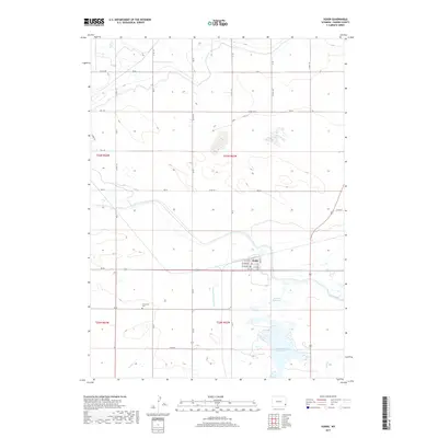
2017 Map of Yoder
USGS Topo · Published 2017About this map
Yoder serves as the primary hub of this high plains region, where the grid of Goshen County roads intersects with essential water infrastructure. The town's small residential core, featuring streets like 1st Ave and Markley St, is situated just north of the Bump-Sullivan Ditch, which redirects vital water resources across this landscape. This 2017 survey illustrates the continued importance of irrigation to local agriculture, dominated by large-scale water features including Marlatt Reservoir and the Goshen Hole Reservoir.
Find a feature on this map
41 named features on this map. Tap any name to fly to it.
Don’t see what you’re looking for? This feature index may not catch every label — zoom into the map to look around manually.
Map Details
Editions of this 2017 Yoder Map
This is the sole edition of this map. No revisions or reprints were ever made.
Other maps of this area

1896 · Patrick
USGS Topo · 1:125,000

1899 · Goshen Hole
USGS Topo · 1:125,000

1954 · Torrington
USGS Topo · 1:250,000

1954 · Cheyenne
USGS Topo · 1:250,000

1958 · Cheyenne
USGS Topo · 1:250,000

1958 · Torrington
USGS Topo · 1:250,000

1960 · Habig Spring
USGS Topo · 1:24,000

1960 · Huntley
USGS Topo · 1:24,000

1960 · Veteran
USGS Topo · 1:24,000

1960 · Hawk Springs
USGS Topo · 1:24,000