Old Maps of Veteran, Wyoming
Explore 9 old maps of Veteran, spanning from 1899 to today. These high-resolution historic maps reveal how streets, neighborhoods, landmarks, and natural features evolved over time — perfect for genealogy, metal detecting, research, and local history exploration.
What you can do with these maps:
- See how Veteran changed over time: Compare historical maps to modern-day views to trace roads, homesites, rail lines & more.
- View detailed metadata: Each map includes creators, publishers, year, scale, and archive source.
- Overlay maps with satellite & LiDAR: Visualize the past alongside modern tools to explore terrain & human change.
- Trusted historical sources: Maps sourced from the USGS, Library of Congress, and other archives.
- Access maps your way: View online, download high-res files, or order prints for personal or research use.
Start exploring old maps of Veteran to uncover forgotten places, hidden landmarks, and the deep history beneath your feet.
Veteran, WY maps
(9)- 1899 Map of Goshen Hole
 1899 Goshen Hole1899 Print · USGSThe High Plains of the Wyoming-Nebraska borderlands come into focus at the close of the nineteenth century. Researchers can trace the early cattle ranching economy through named homesteads like Greasewood Ranch and Robb's Ranch, and locate landmarks such as Ninemile Rock.4 unique versions available
 - 1954 Map of Cheyenne, 1963 Print
 1954 Cheyenne1963 Print · USGSSoutheastern Wyoming's high plains and the capital city's mid-century expansion are documented here during the early Cold War. Genealogists and historians can trace rail-aligned settlements like Pine Bluffs and Hillsdale, or explore landmarks like the Ames Monument and Francis E. Warren Air Force Base.3 unique versions available
 - 1958 Map of Cheyenne
 1958 Cheyenne1958 Print · USGSSoutheast Wyoming and the Nebraska border appear in the late 1950s as a hub of military defense and rail commerce. Genealogists can trace the Union Pacific through Cheyenne or locate the Horse Creek Oil Field and the State Capitol.2 unique versions available
 - 1960 Map of Veteran, 1962 Print
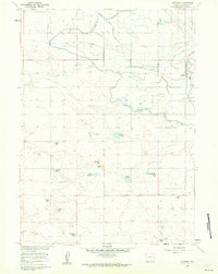 1960 Veteran1962 Print · USGSIn the early 1960s, this Goshen County landscape centered on the vital water-sharing infrastructure of the Wyoming plains. Researchers can trace the Union Pacific line to Veteran or locate family landmarks like the E G House Ranch and Millies Hill.2 unique versions available
 - 1990 Map of Veteran, 1995 Print
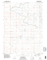 1990 Veteran1995 Print · USGSGoshen County ranching and water management are frozen in time during the late twentieth century. Researchers can trace irrigation networks like the Fort Laramie Canal and locate family landmarks such as the K Yorges Ranch and E G House Ranch.
 - 2012 Map of Veteran, 2012 Print
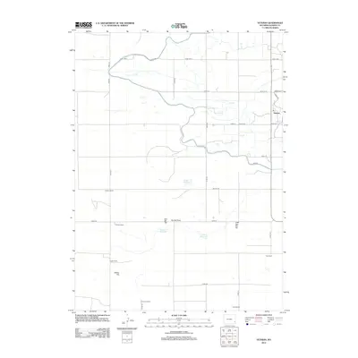 2012 Veteran2012 Print · USGSCovers Veteran, including Goshen County, United States, and other nearby areas
 - 2015 Map of Veteran, 2015 Print
 2015 Veteran2015 Print · USGSCovers Veteran, including Goshen County, United States, and other nearby areas
 - 2017 Map of Veteran, 2017 Print
 2017 Veteran2017 Print · USGSCovers Veteran, including Goshen County, United States, and other nearby areas
 - 2021 Map of Veteran, 2021 Print
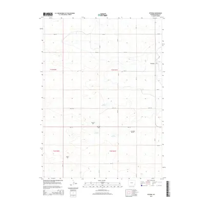
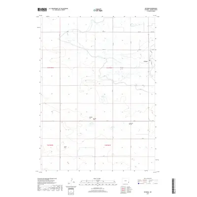
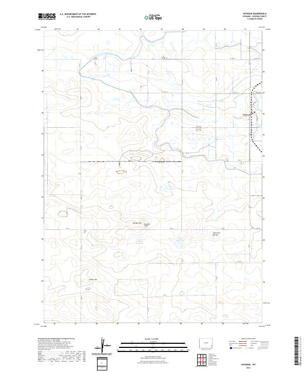 2021 Veteran2021 Print · USGSGoshen County agriculture and irrigation are on full display in this modern survey of the high plains. Trace the network of the Fort Laramie Canal and family landmarks like Millies Hill or Red Bill Hill.
End of results
Showing maps 1-9 of 9
Top cities near Veteran
Frequently asked questions
- What are the different types of historical maps available for Veteran?
- What is the oldest map of Veteran?
- Where can I purchase historical maps of Veteran for my home or office?
- Where can I download high-res historical maps of Veteran?
- Are there historical topographic maps available for Veteran?
- Is there historical aerial imagery available for Veteran?
- Where are historical maps of Veteran sourced from?