2000s (21st Century) Maps of Evansville, Wyoming
Explore 16 historic maps of Evansville from the 2000s (21st Century). These maps offer a rare glimpse into what life looked like during the 2000s — showing old roads, neighborhoods, homes, and landmarks that have changed or disappeared over time.
Whether you're researching your family's past, planning a metal detecting trip, or studying how Evansville's landscape evolved across the 2000s, these high-resolution maps are a powerful tool for exploring the history of this region.
- Focus on a specific era: All maps on this page are from the 2000s, giving you a focused view of this time period.
- See what’s changed: Compare century-old streets, trails, and buildings to today's modern landscape using overlays and satellite layers.
- Research with precision: Use these maps for genealogy, historical research, land use analysis, or educational projects.
- View, download, or print: Maps are fully viewable online in high resolution, and can be downloaded or printed for your own records.
Start exploring Evansville's history through authentic maps from the 2000s. This is your window into the past.
Evansville, WY maps
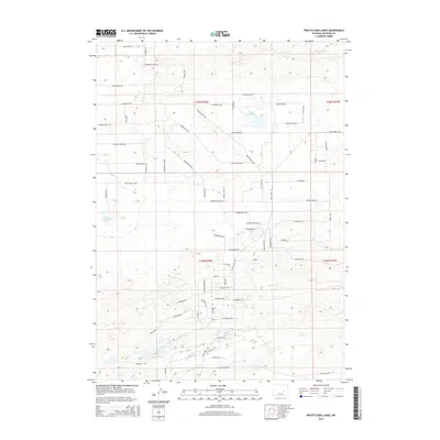
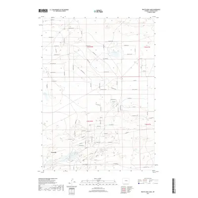
(16)- 2012 Map of Pratts Soda Lakes, 2012 Print
 2012 Pratts Soda Lakes2012 Print · USGSCovers Evansville, including Natrona County, United States, and other nearby areas
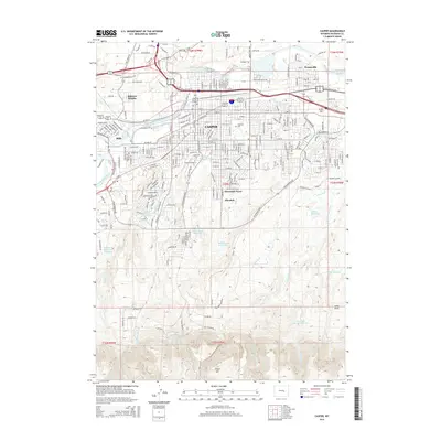
 - 2012 Map of Casper, 2012 Print
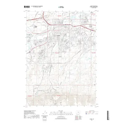
 2012 Casper2012 Print · USGSCovers Evansville, including Casper, Mills, and other nearby areas
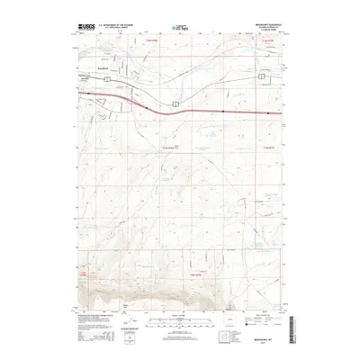
 - 2012 Map of Brookhurst, 2012 Print
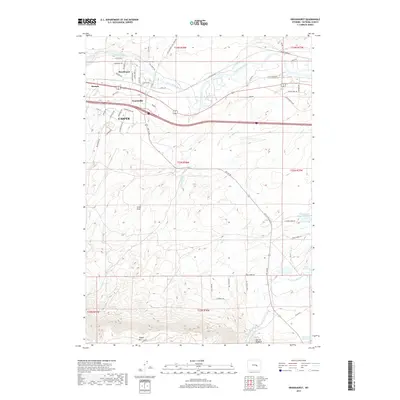
 2012 Brookhurst2012 Print · USGSCovers Evansville, including Casper, Brookhurst, and other nearby areas
 - 2012 Map of The Reefs, 2012 Print
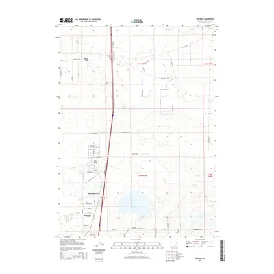
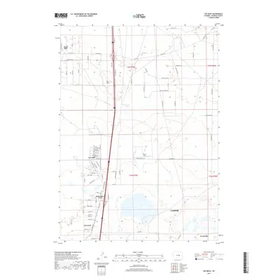
 2012 The Reefs2012 Print · USGSCovers Evansville, including Casper, Bar Nunn, and other nearby areas
 - 2015 Map of Pratts Soda Lakes, 2015 Print
 2015 Pratts Soda Lakes2015 Print · USGSCovers Evansville, including Natrona County, United States, and other nearby areas
 - 2015 Map of Casper, 2015 Print
 2015 Casper2015 Print · USGSCovers Evansville, including Casper, Mills, and other nearby areas
 - 2015 Map of The Reefs, 2015 Print
 2015 The Reefs2015 Print · USGSCovers Evansville, including Casper, Bar Nunn, and other nearby areas
 - 2015 Map of Brookhurst, 2015 Print
 2015 Brookhurst2015 Print · USGSCovers Evansville, including Casper, Brookhurst, and other nearby areas
 - 2017 Map of Pratts Soda Lakes, 2017 Print
 2017 Pratts Soda Lakes2017 Print · USGSCovers Evansville, including Natrona County, United States, and other nearby areas
 - 2017 Map of The Reefs, 2017 Print
 2017 The Reefs2017 Print · USGSCovers Evansville, including Casper, Bar Nunn, and other nearby areas
 - 2017 Map of Casper, 2017 Print
 2017 Casper2017 Print · USGSCovers Evansville, including Casper, Mills, and other nearby areas
 - 2017 Map of Brookhurst, 2017 Print
 2017 Brookhurst2017 Print · USGSCovers Evansville, including Casper, Brookhurst, and other nearby areas
 - 2021 Map of Pratts Soda Lakes, 2021 Print
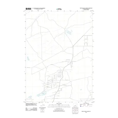
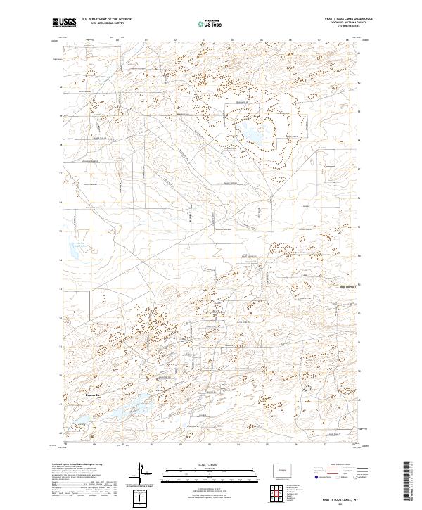 2021 Pratts Soda Lakes2021 Print · USGSThe northern outskirts of Evansville appear here in the early 2020s, showcasing a unique landscape of modern roads named for frontier history. Researchers can trace the layout of the area near Suicide Soda Lake and follow routes like Pony Express Dr and Wagon Train Way.
 - 2021 Map of The Reefs, 2021 Print
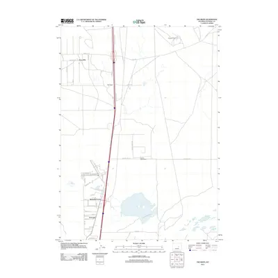
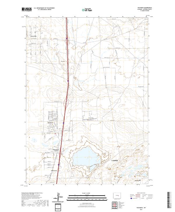 2021 The Reefs2021 Print · USGSThe northern fringes of Casper come into focus during the early 2020s, where suburban growth meets the high plains rangeland. Researchers can trace local development through named tracts like Bar Nunn, locate Harford Field, and follow the historic Salt Creek Hwy.
 - 2021 Map of Brookhurst, 2021 Print
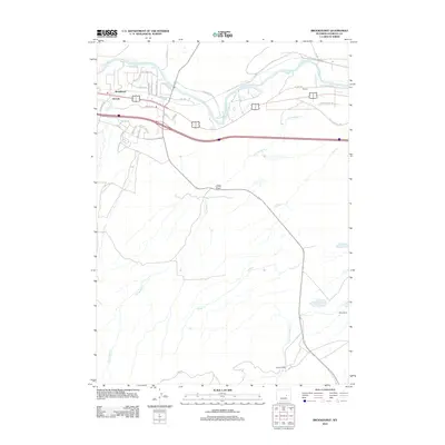
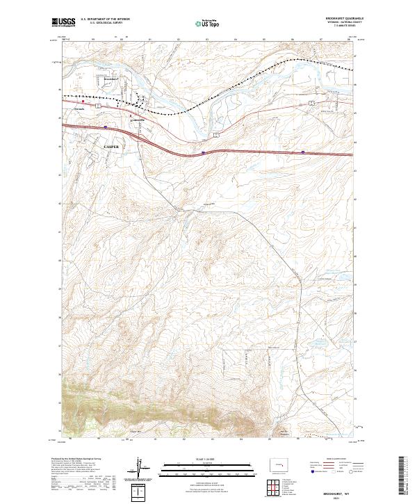 2021 Brookhurst2021 Print · USGSThe North Platte River valley east of Casper comes into focus during this modern era of Wyoming's growth. Researchers can trace land development around Evansville and Brookhurst or locate local landmarks like the Hat Six Hogback and Steed Reservoir.
 - 2021 Map of Casper, 2021 Print
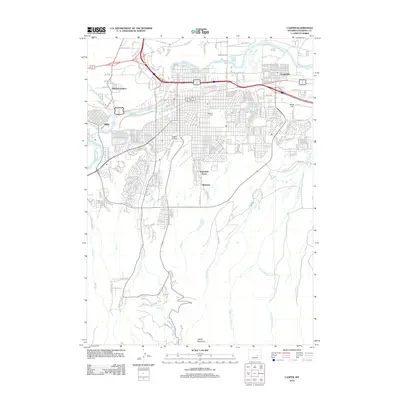
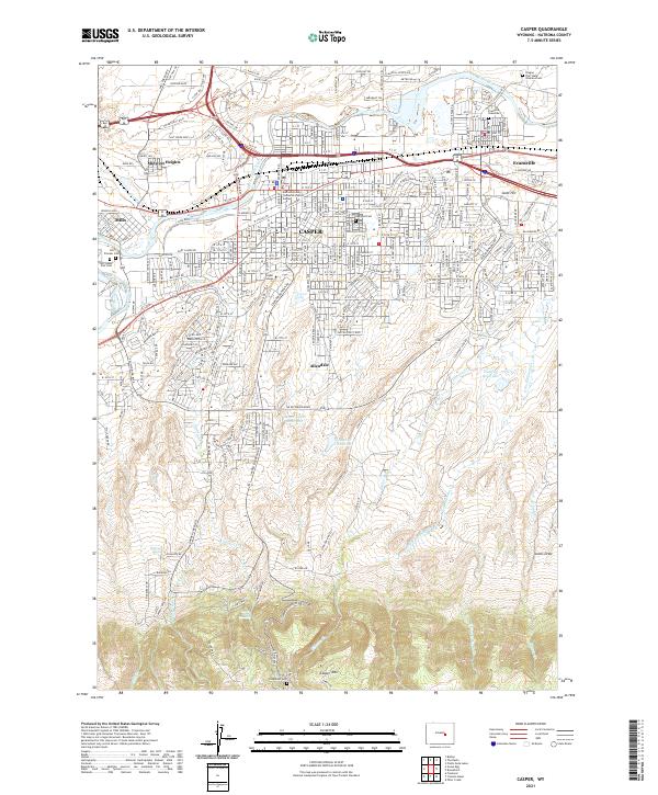 2021 Casper2021 Print · USGSCasper and the North Platte River valley are captured in this recent survey, showing the expansion of settlements from Mills to Evansville. Genealogists can locate burial sites at Oregon Trail State Veterans Cem and the Evansville Gravesite.
End of results
Showing maps 1-16 of 16
Top cities near Evansville
- Casper historical maps
- Mills historical maps
- Bar Nunn historical maps
- Vista West historical maps
- Hartrandt historical maps
- Casper Mountain historical maps
See more
Frequently asked questions
- What are the different types of historical maps available for Evansville?
- What is the oldest map of Evansville?
- Where can I purchase historical maps of Evansville for my home or office?
- Where can I download high-res historical maps of Evansville?
- Are there historical topographic maps available for Evansville?
- Is there historical aerial imagery available for Evansville?
- Where are historical maps of Evansville sourced from?