2000s (21st Century) Maps of Mills, Wyoming
Explore 9 historic maps of Mills from the 2000s (21st Century). These maps offer a rare glimpse into what life looked like during the 2000s — showing old roads, neighborhoods, homes, and landmarks that have changed or disappeared over time.
Whether you're researching your family's past, planning a metal detecting trip, or studying how Mills's landscape evolved across the 2000s, these high-resolution maps are a powerful tool for exploring the history of this region.
- Focus on a specific era: All maps on this page are from the 2000s, giving you a focused view of this time period.
- See what’s changed: Compare century-old streets, trails, and buildings to today's modern landscape using overlays and satellite layers.
- Research with precision: Use these maps for genealogy, historical research, land use analysis, or educational projects.
- View, download, or print: Maps are fully viewable online in high resolution, and can be downloaded or printed for your own records.
Start exploring Mills's history through authentic maps from the 2000s. This is your window into the past.
Mills, WY maps
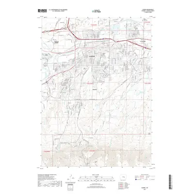
(9)- 2012 Map of Casper, 2012 Print
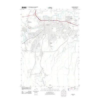 2012 Casper2012 Print · USGSCovers Mills, including Casper, Evansville, and other nearby areas
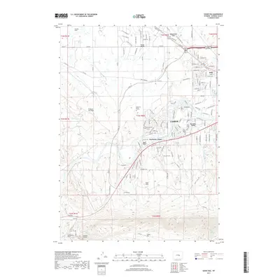
 - 2012 Map of Goose Egg, 2012 Print
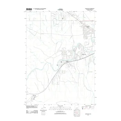 2012 Goose Egg2012 Print · USGSCovers Mills, including Casper, Vista West, and other nearby areas
 - 2015 Map of Casper, 2015 Print
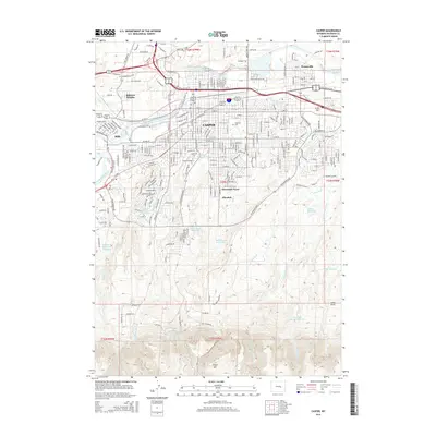 2015 Casper2015 Print · USGSCovers Mills, including Casper, Evansville, and other nearby areas
 - 2015 Map of Goose Egg, 2015 Print
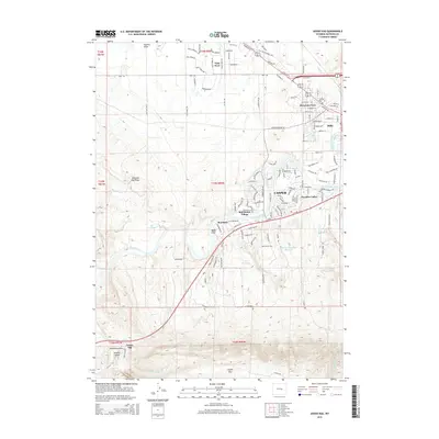 2015 Goose Egg2015 Print · USGSCovers Mills, including Casper, Vista West, and other nearby areas
 - 2017 Map of Goose Egg, 2017 Print
 2017 Goose Egg2017 Print · USGSCovers Mills, including Casper, Vista West, and other nearby areas
 - 2017 Map of Casper, 2017 Print
 2017 Casper2017 Print · USGSCovers Mills, including Casper, Evansville, and other nearby areas
 - 2021 Map of Goose Egg, 2021 Print
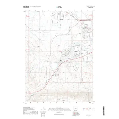 2021 Goose Egg2021 Print · USGSCovers Mills, including Casper, Vista West, and other nearby areas
 - 2021 Map of Casper, 2021 Print
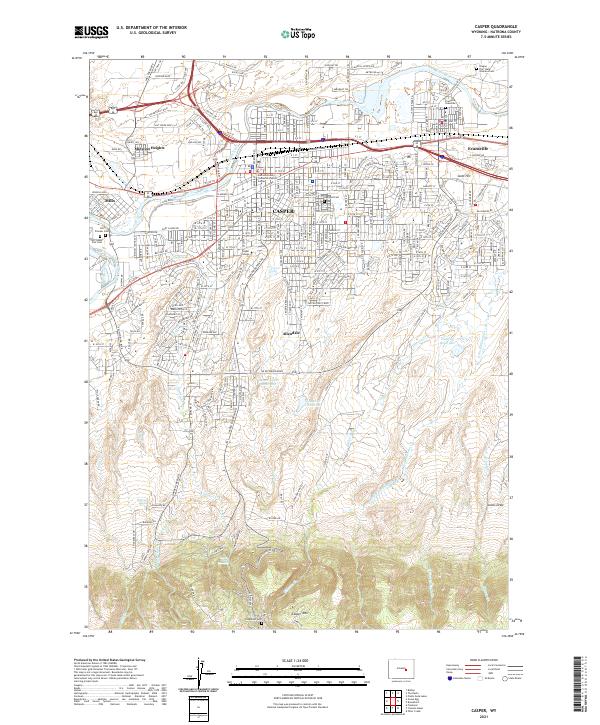 2021 Casper2021 Print · USGSCasper and the North Platte River valley are captured in this recent survey, showing the expansion of settlements from Mills to Evansville. Genealogists can locate burial sites at Oregon Trail State Veterans Cem and the Evansville Gravesite.
 - 2023 Map of Goose Egg, 2023 Print
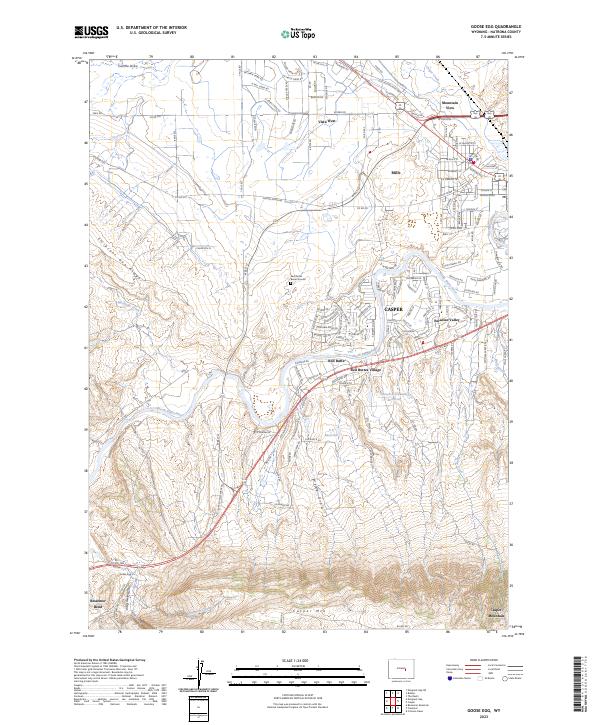 2023 Goose Egg2023 Print · USGSThe outskirts of Casper and the northern slopes of Casper Mountain meet along the North Platte River in the early 2020s. Researchers can trace local landmarks like the Red Buttes Burial Ground and historic points near Bessemer Bend.
End of results
Showing maps 1-9 of 9
Top cities near Mills
- Casper historical maps
- Bar Nunn historical maps
- Evansville historical maps
- Vista West historical maps
- Hartrandt historical maps
- Casper Mountain historical maps
See more
Top neighborhoods of Mills
Frequently asked questions
- What are the different types of historical maps available for Mills?
- What is the oldest map of Mills?
- Where can I purchase historical maps of Mills for my home or office?
- Where can I download high-res historical maps of Mills?
- Are there historical topographic maps available for Mills?
- Is there historical aerial imagery available for Mills?
- Where are historical maps of Mills sourced from?