Loading...
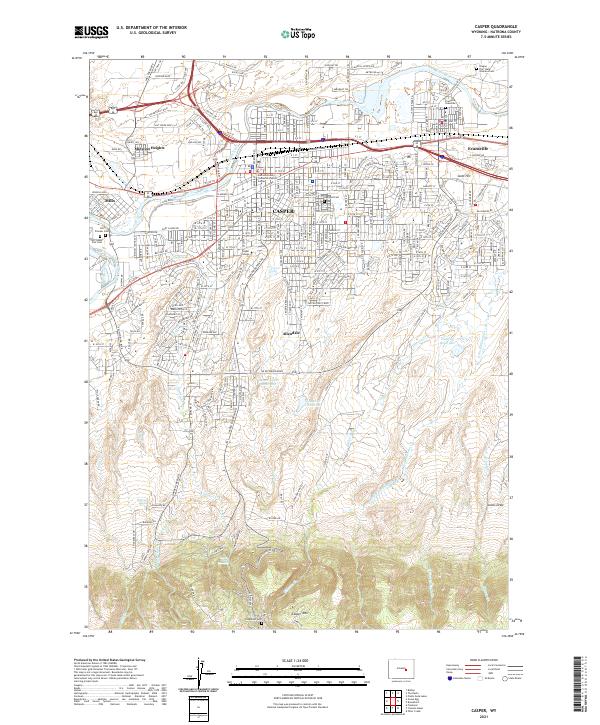
Loading map...2021 Map of Casper
USGS Topo · Published 2021About this map
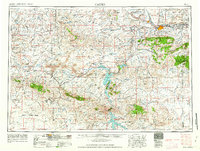
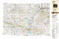
The North Platte River winds through the heart of this Wyoming corridor, anchoring a landscape where the historic Emigrant Trl meets the modern infrastructure of Casper. The city center is a dense grid of justice and education, featuring the Natrona County Townsend Justice Center and the Casper College campus. Surrounding neighborhoods like Mills, Evansville, and Midwest Heights follow the river’s path, while to the south, the terrain rises toward Casper Mtn.
Find a feature on this map
160 named features on this map. Tap any name to fly to it.
Don’t see what you’re looking for? This feature index may not catch every label — zoom into the map to look around manually.
Map Details
Date Portrayed2021
Date Published2021
PublisherU.S. Geological Survey
Map TypeTopographic
Scale1:24000
Physical Dimensions24 x 29 inches
Editions of this 2021 Casper Map
This is the sole edition of this map. No revisions or reprints were ever made.
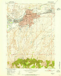
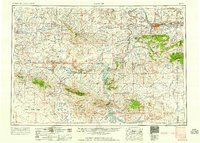
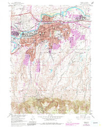
Historical Maps of Mills Through Time
8 maps found

Featured Locations
Source Details
SourceU.S. Geological Survey
CopyrightPublic Domain