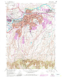
1961 Map of Casper
USGS Topo · Published 1985About this map
The Platte River corridor anchors this detailed portrait of Casper and its surrounding industrial and residential growth. This mid-century survey captures the city as a critical energy and transportation hub, evidenced by the massive Refinery and Oil Tank Farm located along the Chicago and North Western and Burlington Northern rail lines. The urban footprint expands into several outlying neighborhoods like Mills, Evansville, and Midwest Heights, while the southern slopes are defined by the rising base of Casper Mountain.
Find a feature on this map
74 named features on this map. Tap any name to fly to it.
Don’t see what you’re looking for? This feature index may not catch every label — zoom into the map to look around manually.
Map Details
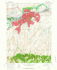
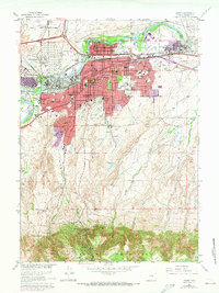
Editions of this 1961 Casper Map
3 editions found
Other maps of this area

1949 · Brookhurst
USGS Topo · 1:24,000

1949 · Pratts Soda Lakes
USGS Topo · 1:24,000

1950 · Brookhurst
USGS Topo · 1:24,000

1950 · Pratts Soda Lakes
USGS Topo · 1:24,000

1950 · Goose Egg
USGS Topo · 1:24,000

1951 · The Reefs
USGS Topo · 1:24,000

1951 · Casper
USGS Topo · 1:24,000

1952 · Bishop
USGS Topo · 1:24,000

1955 · Casper
USGS Topo · 1:250,000

1958 · Casper
USGS Topo · 1:250,000