Old Maps of Midwest Heights, Mills for Hiking & Exploration
Hike through history with 11 historic maps of Midwest Heights. Explore old trails, ghost towns, and forgotten backroads — perfect for outdoor adventurers and local explorers.
- Rediscover forgotten places: Map out old mining camps, roads, and footpaths that no longer exist on modern maps.
- Layer with modern tools: Combine with LiDAR or satellite views to plan hikes through historical terrain.
- Made for exploration: Popular among hikers, overlanders, and local history lovers.
Use these maps to find adventure and explore the hidden past of Midwest Heights.
Midwest Heights, Mills maps
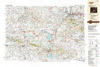
(11)- 1951 Map of Casper, 1952 Print
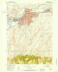 1951 Casper1952 Print · USGSCasper at the midpoint of the century is a bustling energy and transit hub along the North Platte River. Genealogists and historians can locate family-owned holdings like C Y Ranch, industrial landmarks like the Oil Tank Farms, and local institutions including the State Childrens Home.2 unique versions available
 - 1955 Map of Casper, 1977 Print
 1955 Casper1977 Print · USGSCentral Wyoming in the mid-fifties is defined by its massive water projects and an emerging energy economy centered around Casper. Genealogists and historians can trace old ranching outposts like Ervay alongside industrial sites such as the Uranium Mill and Poison Spider Oil Field.
 - 1958 Map of Casper
 1958 Casper1958 Print · USGSCentral Wyoming in the late fifties is defined by its massive high-desert reservoirs and the burgeoning energy infrastructure around Casper. Genealogists and researchers can trace remote outposts like Bairoil and Love Ranch or locate the Poison Spider Oil Field.2 unique versions available
 - 1961 Map of Casper, 1965 Print
 1961 Casper1965 Print · USGSCasper and its neighbors developed rapidly during the mid-century energy boom, bordered by the river and the mountain. Researchers can trace the layout of Evansville, the sprawling Oil Tank Farm, and neighborhood anchors like Casper College.3 unique versions available
 - 1962 Map of Casper
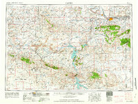 1962 Casper1962 Print · USGSCentral Wyoming during the early sixties was a landscape of expanding energy production and massive water projects. Researchers can trace the mid-century footprint of the Lost Soldier Oil Field, the development of Casper Air Terminal, and the irrigation network of Pathfinder Reservoir.
 - 1979 Map of Casper, 1980 Print
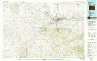 1979 Casper1980 Print · USGSCasper and the North Platte River valley are documented here during the late seventies, showing the city's growth against the backdrop of the Laramie Mountains. Researchers can trace the historic Emigrant Trail past Bessemer Mountain or locate family plots at Highland Cem.
 - 1988 Map of Casper
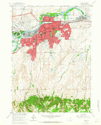
 1988 Casper1988 Print · USGSHigh plains and mountain ranges define Central Wyoming in the late eighties, centered on the growth of the Casper urban corridor. Genealogists and researchers can trace the rail lines of the Chicago and North Western RR or locate small outposts like Jeffrey City and Bairoil.
 - 2012 Map of Casper, 2012 Print
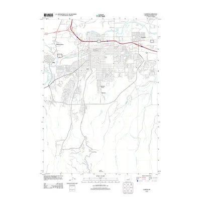 2012 Casper2012 Print · USGSCovers Midwest Heights, including Casper, Mills, and other nearby areas
 - 2015 Map of Casper, 2015 Print
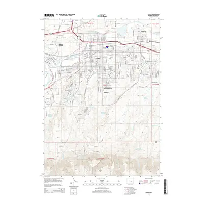 2015 Casper2015 Print · USGSCovers Midwest Heights, including Casper, Mills, and other nearby areas
 - 2017 Map of Casper, 2017 Print
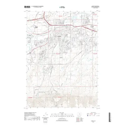 2017 Casper2017 Print · USGSCovers Midwest Heights, including Casper, Mills, and other nearby areas
 - 2021 Map of Casper, 2021 Print
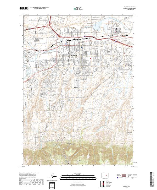 2021 Casper2021 Print · USGSCasper and the North Platte River valley are captured in this recent survey, showing the expansion of settlements from Mills to Evansville. Genealogists can locate burial sites at Oregon Trail State Veterans Cem and the Evansville Gravesite.
End of results
Showing maps 1-11 of 11
Frequently asked questions
- What are the different types of historical maps available for Midwest Heights?
- What is the oldest map of Midwest Heights?
- Where can I purchase historical maps of Midwest Heights for my home or office?
- Where can I download high-res historical maps of Midwest Heights?
- Are there historical topographic maps available for Midwest Heights?
- Is there historical aerial imagery available for Midwest Heights?
- Where are historical maps of Midwest Heights sourced from?