Old Maps of Lance Creek, Wyoming for Hiking & Exploration
Hike through history with 8 historic maps of Lance Creek. Explore old trails, ghost towns, and forgotten backroads — perfect for outdoor adventurers and local explorers.
- Rediscover forgotten places: Map out old mining camps, roads, and footpaths that no longer exist on modern maps.
- Layer with modern tools: Combine with LiDAR or satellite views to plan hikes through historical terrain.
- Made for exploration: Popular among hikers, overlanders, and local history lovers.
Use these maps to find adventure and explore the hidden past of Lance Creek.
Lance Creek, WY maps
(8)- 1955 Map of Newcastle, 1963 Print
 1955 Newcastle1963 Print · USGSThe high plains of eastern Wyoming and western South Dakota are captured in the mid-fifties, showing a landscape of sprawling ranches and emerging oil fields. Researchers can locate family landmarks like Saunders Ranch, trace the Chicago Burlington & Quincy RR, and explore small rail towns such as Osage and Edgemont.2 unique versions available
 - 1958 Map of Newcastle
 1958 Newcastle1958 Print · USGSThe high plains of eastern Wyoming meet the Black Hills in the late fifties, showcasing a landscape of rail-connected towns and historic trails. Trace the path of the Chicago Burlington & Quincy RR through Newcastle or locate the Bozeman Trail Monument and Summitt Ridge Lookout Tower.
 - 1981 Map of Lance Creek
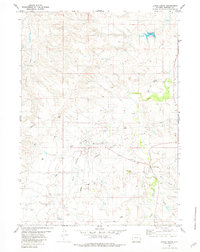 1981 Lance Creek1981 Print · USGSNiobrara County petroleum production is in full focus during the early eighties, showcasing the infrastructure of the Lance Creek Oil Field. Researchers can trace the development of West Lance Creek alongside industrial features like Landing Strips and numerous well sites.
 - 1981 Map of Lance Creek, 1983 Print
 1981 Lance Creek1983 Print · USGSEastern Wyoming at the start of the 1980s reveals a high-plains landscape dominated by the energy industry and complex drainage systems. Researchers can trace the footprints of the Kaye Oil Field and Clareton Oil Field or follow the waters of the Cheyenne River and Robbers Roost Creek.
 - 2012 Map of Lance Creek, 2012 Print
 2012 Lance Creek2012 Print · USGSCovers Lance Creek, including West Lance Creek, Niobrara County, and other nearby areas
 - 2015 Map of Lance Creek, 2015 Print
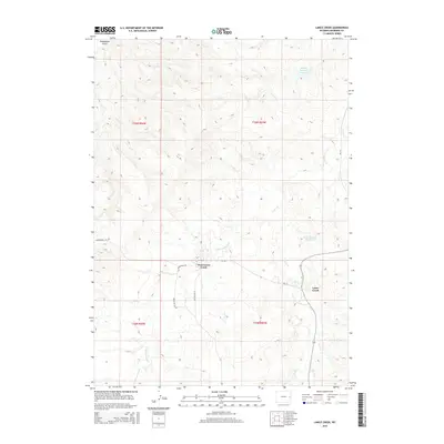 2015 Lance Creek2015 Print · USGSCovers Lance Creek, including West Lance Creek, Niobrara County, and other nearby areas
 - 2017 Map of Lance Creek, 2017 Print
 2017 Lance Creek2017 Print · USGSCovers Lance Creek, including West Lance Creek, Niobrara County, and other nearby areas
 - 2021 Map of Lance Creek, 2021 Print
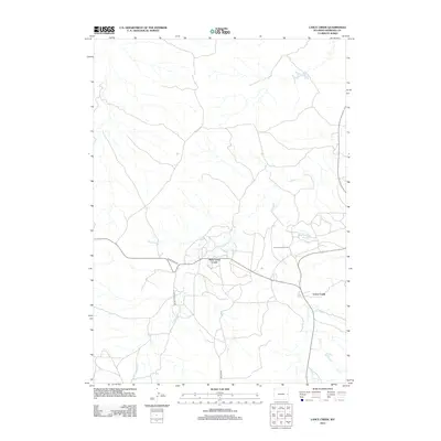
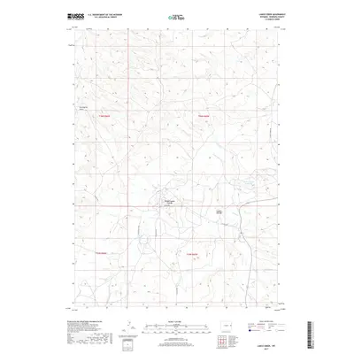
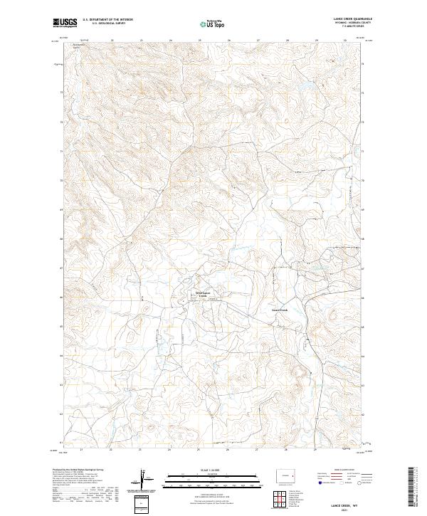 2021 Lance Creek2021 Print · USGSLance Creek and the high plains of Niobrara County are captured here in the early twenty-first century. Genealogists and local historians can trace the road networks and water features that defined this ranching and oil country, from West Lance Creek to Carter Oil Co Rd.
End of results
Showing maps 1-8 of 8
Frequently asked questions
- What are the different types of historical maps available for Lance Creek?
- What is the oldest map of Lance Creek?
- Where can I purchase historical maps of Lance Creek for my home or office?
- Where can I download high-res historical maps of Lance Creek?
- Are there historical topographic maps available for Lance Creek?
- Is there historical aerial imagery available for Lance Creek?
- Where are historical maps of Lance Creek sourced from?