Old Maps of Mule Creek Junction, Wyoming for Academic Research
Study the evolution of Mule Creek Junction with 8 high-resolution historic maps. Whether you're teaching, researching, or modeling changes in land use, these maps provide essential visual documentation of urban, environmental, and geographic change.
- Analyze long-term change: Track patterns in development, transportation, and natural features.
- Ideal for environmental or urban studies: Support academic projects with primary historical map data.
- Use in the classroom or lab: Educators and researchers rely on these maps to bring historical context to life.
These maps are a powerful tool for teaching, research, and visualizing how Mule Creek Junction has changed over the decades.
Mule Creek Junction, WY maps
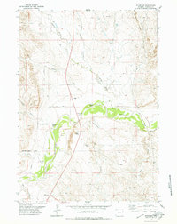
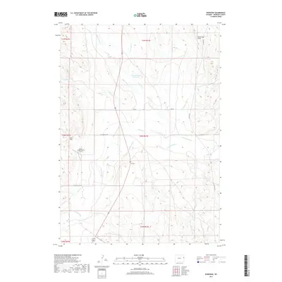
(8)- 1955 Map of Newcastle, 1963 Print
 1955 Newcastle1963 Print · USGSThe high plains of eastern Wyoming and western South Dakota are captured in the mid-fifties, showing a landscape of sprawling ranches and emerging oil fields. Researchers can locate family landmarks like Saunders Ranch, trace the Chicago Burlington & Quincy RR, and explore small rail towns such as Osage and Edgemont.2 unique versions available
 - 1958 Map of Newcastle
 1958 Newcastle1958 Print · USGSThe high plains of eastern Wyoming meet the Black Hills in the late fifties, showcasing a landscape of rail-connected towns and historic trails. Trace the path of the Chicago Burlington & Quincy RR through Newcastle or locate the Bozeman Trail Monument and Summitt Ridge Lookout Tower.
 - 1978 Map of Riverview, 1979 Print
 1978 Riverview1979 Print · USGSNiobrara County ranching country and the Cheyenne River valley are captured here during the late 1970s. Researchers can locate the Robbers Roost Stage Sta (Site), the Cheyenne River Sch, and the small community at Riverview.
 - 1981 Map of Lance Creek, 1983 Print
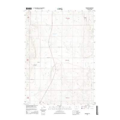
 1981 Lance Creek1983 Print · USGSEastern Wyoming at the start of the 1980s reveals a high-plains landscape dominated by the energy industry and complex drainage systems. Researchers can trace the footprints of the Kaye Oil Field and Clareton Oil Field or follow the waters of the Cheyenne River and Robbers Roost Creek.
 - 2012 Map of Riverview, 2012 Print
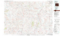
 2012 Riverview2012 Print · USGSCovers Mule Creek Junction, including Niobrara County, United States, and other nearby areas
 - 2015 Map of Riverview, 2015 Print
 2015 Riverview2015 Print · USGSCovers Mule Creek Junction, including Niobrara County, United States, and other nearby areas
 - 2017 Map of Riverview, 2017 Print
 2017 Riverview2017 Print · USGSCovers Mule Creek Junction, including Niobrara County, United States, and other nearby areas
 - 2021 Map of Riverview, 2021 Print
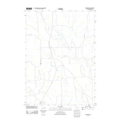
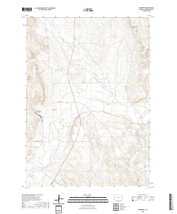 2021 Riverview2021 Print · USGSNiobrara County ranch land and river breaks are captured here in the early twenty-first century. Researchers can trace the winding Cheyenne River or locate local landmarks like Rattlesnake Ridge, the Robbers Roost Ranch Airport, and the Campbell Number 1 Reservoir.
End of results
Showing maps 1-8 of 8
Frequently asked questions
- What are the different types of historical maps available for Mule Creek Junction?
- What is the oldest map of Mule Creek Junction?
- Where can I purchase historical maps of Mule Creek Junction for my home or office?
- Where can I download high-res historical maps of Mule Creek Junction?
- Are there historical topographic maps available for Mule Creek Junction?
- Is there historical aerial imagery available for Mule Creek Junction?
- Where are historical maps of Mule Creek Junction sourced from?