Old Maps of Vocation, Wyoming for Hiking & Exploration
Hike through history with 9 historic maps of Vocation. Explore old trails, ghost towns, and forgotten backroads — perfect for outdoor adventurers and local explorers.
- Rediscover forgotten places: Map out old mining camps, roads, and footpaths that no longer exist on modern maps.
- Layer with modern tools: Combine with LiDAR or satellite views to plan hikes through historical terrain.
- Made for exploration: Popular among hikers, overlanders, and local history lovers.
Use these maps to find adventure and explore the hidden past of Vocation.
Vocation, WY maps
(9)- 1955 Map of Cody, 1969 Print
 1955 Cody1969 Print · USGSThe Bighorn Basin and Absaroka Range meet in the mid-fifties, capturing a landscape defined by mountain wilderness and burgeoning oil fields. Trace family roots in Cody or Meeteetse, and locate industrial landmarks like the Elk Basin Oil and Gas Field and the Chicago Burlington and Quincy RR.2 unique versions available
 - 1958 Map of Cody
 1958 Cody1958 Print · USGSNorthwestern Wyoming at the peak of the mid-century energy and ranching boom shows a land of high peaks and oil basins. Researchers can trace the Chicago Burlington and Quincy rail lines through Greybull or locate the sprawling Elk Basin Oil and Gas Field.
 - 1962 Map of Cody
 1962 Cody1962 Print · USGSBig Horn Basin energy and agriculture define this mid-century look at Wyoming’s northern frontier. Local historians can trace the irrigation and rail networks connecting Cody and Powell to major energy sites like the Oregon Basin Oil Field.
 - 1966 Map of Vocation, 1970 Print
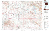
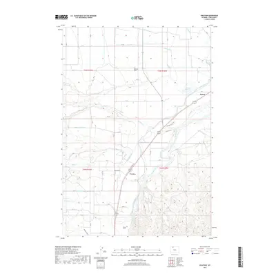
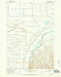 1966 Vocation1970 Print · USGSPark County irrigation and transport networks are captured here in the mid-1960s as water transformed the high plains. Trace the legacy of frontier travel at the Eaglenest (Historical Stage Station) and the industrial footprint of the Willwood Dam and Corbett Tunnel.2 unique versions available
 - 1980 Map of Powell, 1982 Print
 1980 Powell1982 Print · USGSThe Bighorn Basin in the 1980s shows a landscape where irrigation and rail transformed the high desert near the Montana border. Researchers can trace the path of the Burlington Northern line through historic stops like Garland, Frannie, and Deaver.
 - 2012 Map of Vocation, 2012 Print
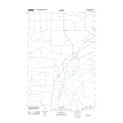 2012 Vocation2012 Print · USGSCovers Vocation, including Kamms Corner, Park County, and other nearby areas
 - 2015 Map of Vocation, 2015 Print
 2015 Vocation2015 Print · USGSCovers Vocation, including Kamms Corner, Park County, and other nearby areas
 - 2017 Map of Vocation, 2017 Print
 2017 Vocation2017 Print · USGSCovers Vocation, including Kamms Corner, Park County, and other nearby areas
 - 2021 Map of Vocation, 2021 Print
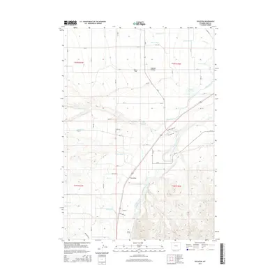
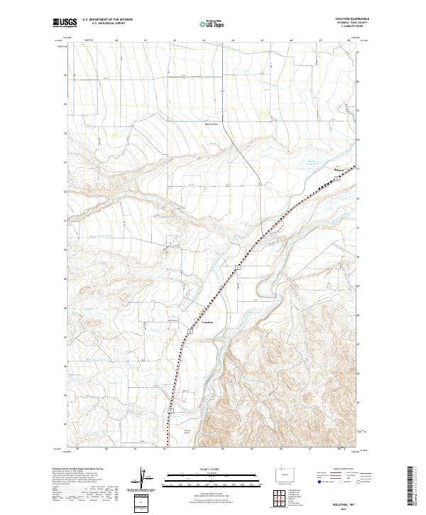 2021 Vocation2021 Print · USGSPark County irrigation and ranching life are on display in this contemporary survey of the Big Horn Basin. Researchers can trace the path of the Shoshone River, the essential Garland Canal, and rural outposts like Ralston and Vocation.
End of results
Showing maps 1-9 of 9
Top cities near Vocation
Frequently asked questions
- What are the different types of historical maps available for Vocation?
- What is the oldest map of Vocation?
- Where can I purchase historical maps of Vocation for my home or office?
- Where can I download high-res historical maps of Vocation?
- Are there historical topographic maps available for Vocation?
- Is there historical aerial imagery available for Vocation?
- Where are historical maps of Vocation sourced from?