Old Maps of Shockley Ranch, Wyoming for Genealogy
Trace your family roots with 9 historic maps of Shockley Ranch. These high-res maps reveal old neighborhoods, homesites, landmarks, and streets — helping you uncover where your ancestors lived and how the area evolved over time.
- Explore historic neighborhoods: Identify where your relatives may have lived in the 1800s or 1900s.
- Compare maps over time: Trace the changes in streets, buildings, and landmarks for multi-generational research.
- Perfect for genealogy & ancestry research: Used by family historians and researchers to map out lineage and migration.
These maps are an incredible resource for exploring your personal connection to Shockley Ranch's past.
Shockley Ranch, WY maps
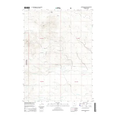
(9)- 1953 Map of Johnson Mountain, 1954 Print
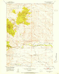 1953 Johnson Mountain1954 Print · USGSThe ranching country of Platte County comes alive in the mid-1950s as the Missouri River Basin development era shaped the Wyoming landscape. Researchers can trace the legacy of pioneer families at Hagemeister Ranch and Sommers-Shockley School, or locate the Black Powder Mines (Inactive).4 unique versions available
 - 1954 Map of Torrington, 1963 Print
 1954 Torrington1963 Print · USGSEastern Wyoming and the Nebraska borderlands are captured here during the mid-fifties, showing a landscape shaped by the Platte River and the Laramie Range. Researchers can trace deep history at the Fort Laramie National Historical Site, the Old Doty Ranch Site, and along the Old Fetterman Road.4 unique versions available
 - 1958 Map of Torrington
 1958 Torrington1958 Print · USGSEastern Wyoming and the Nebraska borderlands are captured in the late fifties, showcasing a landscape of high plains ranching and river-fed industry. Trace the historic paths of the Union Pacific railroad and find legacy sites like Fort Laramie and Sunrise.
 - 1981 Map of Laramie Peak
 1981 Laramie Peak1981 Print · USGSThe Laramie Mountains and Medicine Bow National Forest define this landscape in the early eighties. Genealogists and historians can trace high-country settlements like Toltec and Binford, or locate industrial sites like the Mica Mine near the North Laramie River.2 unique versions available
 - 1992 Map of Johnson Mountain, 1996 Print
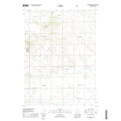
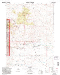 1992 Johnson Mountain1996 Print · USGSPlatte County ranching and water rights are recorded here in the early nineties, showing a landscape of family homesteads and irrigation systems. Genealogists can trace family landmarks like Butner Ranch, the Sommers-Shockley School, and the Black Powder Mines.
 - 2012 Map of Johnson Mountain, 2012 Print
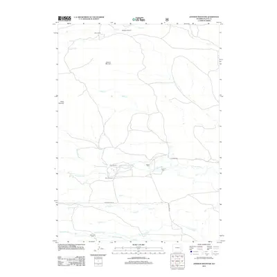 2012 Johnson Mountain2012 Print · USGSCovers Shockley Ranch, including Hagemeister Ranch, Platte County, and other nearby areas
 - 2015 Map of Johnson Mountain, 2015 Print
 2015 Johnson Mountain2015 Print · USGSCovers Shockley Ranch, including Hagemeister Ranch, Platte County, and other nearby areas
 - 2017 Map of Johnson Mountain, 2017 Print
 2017 Johnson Mountain2017 Print · USGSCovers Shockley Ranch, including Hagemeister Ranch, Platte County, and other nearby areas
 - 2021 Map of Johnson Mountain, 2021 Print
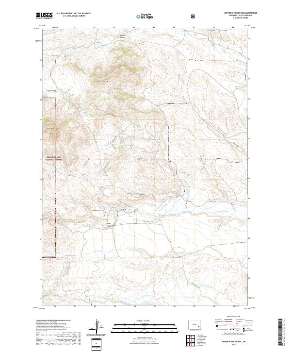 2021 Johnson Mountain2021 Print · USGSThe Laramie Range foothills come into sharp focus in this recent survey of the Platte County backcountry. Trace the intersection of mountain terrain and high-plains ranching through labels for the N Laramie Canal, Johnson Canyon, and the Devils Washtub Trl.
End of results
Showing maps 1-9 of 9
Top cities near Shockley Ranch
Frequently asked questions
- What are the different types of historical maps available for Shockley Ranch?
- What is the oldest map of Shockley Ranch?
- Where can I purchase historical maps of Shockley Ranch for my home or office?
- Where can I download high-res historical maps of Shockley Ranch?
- Are there historical topographic maps available for Shockley Ranch?
- Is there historical aerial imagery available for Shockley Ranch?
- Where are historical maps of Shockley Ranch sourced from?