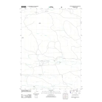
2012 Map of Johnson Mountain
USGS Topo · Published 2012About this map
Butner Ranch and several other family-named landholdings define the rural character of this Platte County landscape. The area is marked by a complex network of waterways, including the N Laramie River and the Dry Laramie River, which are supplemented by man-made agricultural infrastructure like Mitchell Ditch and Merkel Ditch Number 1. This reliance on water management is a hallmark of the high plains ranching economy, where reliable access to water dictated the location of homesteads such as Weaver Ranch and Tatman Ranch.
Find a feature on this map
25 named features on this map. Tap any name to fly to it.
Don’t see what you’re looking for? This feature index may not catch every label — zoom into the map to look around manually.
Map Details
Editions of this 2012 Johnson Mountain Map
This is the sole edition of this map. No revisions or reprints were ever made.
Other maps of this area

1943 · Esterbrook
USGS Topo · 1:62,500

1945 · Esterbrook
USGS Topo · 1:62,500

1950 · Coleman Butte
USGS Topo · 1:24,000

1950 · Cottonwood Falls
USGS Topo · 1:24,000

1951 · Coleman Butte
USGS Topo · 1:24,000

1951 · Cottonwood Falls
USGS Topo · 1:24,000

1953 · Lewis Flat
USGS Topo · 1:24,000

1953 · Hightower
USGS Topo · 1:24,000

1953 · Hightower SW
USGS Topo · 1:24,000

1953 · Johnson Mountain
USGS Topo · 1:24,000