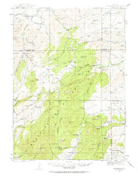
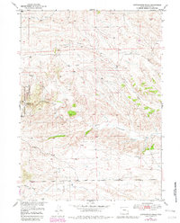
1943 Map of Esterbrook
USGS Topo · Published 1963About this map
The rugged intersection of the Laramie Range and the Medicine Bow National Forest defines this 1943 survey, centered on the small mountain community of Esterbrook. Rising above the surrounding timber and drainages, Laramie Pk serves as a dominant landmark in the south, while the landscape to the north is carved by La Bonte Creek and Horseshoe Creek. This area illustrates a mid-century ranching economy where family-named holdings like La Bonte Ranch, Ballard Ranch, and Atkinson Ranch are connected by narrow trails and mountain roads.
Find a feature on this map
88 named features on this map. Tap any name to fly to it.
Don’t see what you’re looking for? This feature index may not catch every label — zoom into the map to look around manually.
Map Details
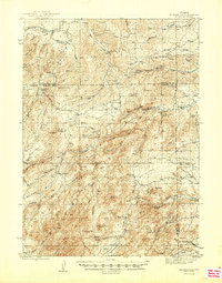
Editions of this 1943 Esterbrook Map
This is the sole edition of this map. No revisions or reprints were ever made.
Other maps of this area
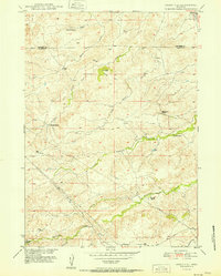
1945 · Esterbrook
USGS Topo · 1:62,500

1949 · Poison Lake
USGS Topo · 1:24,000
1949 · Cedar Hill
USGS Topo · 1:24,000
1949 · Spring Creek
USGS Topo · 1:24,000

1949 · Dilts Ranch
USGS Topo · 1:24,000

1950 · Spring Creek
USGS Topo · 1:24,000

1950 · Poison Lake
USGS Topo · 1:24,000

1950 · Dilts Ranch
USGS Topo · 1:24,000
1950 · Cottonwood Falls
USGS Topo · 1:24,000
1951 · Cedar Hill
USGS Topo · 1:24,000