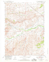
1949 Map of Spring Creek
USGS Topo · Published 1970About this map
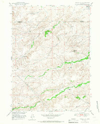
Horseshoe Creek and its complex network of irrigation ditches dominate the lower elevations of this Platte County landscape, reflecting the agricultural adaptation required in the Wyoming basin during the late 1940s. The terrain is defined by a series of named drainages, including Spring Creek, Whiskey Gulch, and the winding Middle Bear Creek to the south. Higher elevations are anchored by Pollard Hill, while numerous unnamed windmills and a specific Water Tank suggest the vital infrastructure for livestock and ranching. The topographic detail reveals a landscape of deep draws and seasonal flows, such as Reeder Draw and Sand Draw, which channel runoff from the ridgelines. This 1949 survey, field-checked just after the war, captures the essential water-rights and land-use patterns of the era, from the distinct North Coyote Creek to the various springs that supported early development in the region.
Find a feature on this map
10 named features on this map. Tap any name to fly to it.
Don’t see what you’re looking for? This feature index may not catch every label — zoom into the map to look around manually.
Map Details
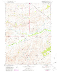
Editions of this 1949 Spring Creek Map
2 editions found
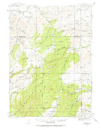
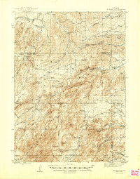
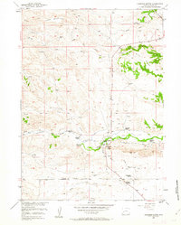
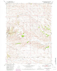
Other maps of this area
1943 · Esterbrook
USGS Topo · 1:62,500
1945 · Esterbrook
USGS Topo · 1:62,500
1949 · Cedar Hill
USGS Topo · 1:24,000

1949 · Dilts Ranch
USGS Topo · 1:24,000
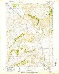
1950 · Glendo
USGS Topo · 1:24,000

1950 · Spring Creek
USGS Topo · 1:24,000

1950 · Dilts Ranch
USGS Topo · 1:24,000
1950 · Coleman Butte
USGS Topo · 1:24,000
1950 · Cottonwood Falls
USGS Topo · 1:24,000

1951 · Coleman Butte
USGS Topo · 1:24,000