
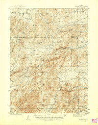
1950 Map of Spring Creek
USGS Topo · Published 1950About this map
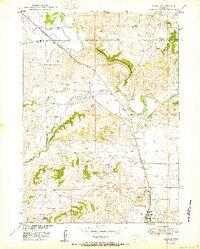
Horseshoe Creek and Spring Creek meander through this 1950 survey of Platte County, which reveals a landscape defined by an intricate network of drainages and ranching infrastructure. Mapping by the Geological Survey as part of the Missouri River Basin development program highlights the importance of water management in this arid region, as evidenced by numerous Windmill sites and a Water Tank positioned to support livestock. The topography is etched with deep channels including Whiskey Gulch, Reeder Draw, and Sand Draw, illustrating the erosional character of the high plains.
Find a feature on this map
11 named features on this map. Tap any name to fly to it.
Don’t see what you’re looking for? This feature index may not catch every label — zoom into the map to look around manually.
Map Details
Editions of this 1950 Spring Creek Map
This is the sole edition of this map. No revisions or reprints were ever made.
Other maps of this area
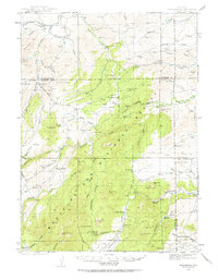
1943 · Esterbrook
USGS Topo · 1:62,500
1945 · Esterbrook
USGS Topo · 1:62,500
1949 · Cedar Hill
USGS Topo · 1:24,000
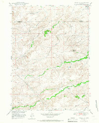
1949 · Spring Creek
USGS Topo · 1:24,000

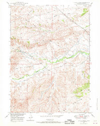
1949 · Dilts Ranch
USGS Topo · 1:24,000
1950 · Glendo
USGS Topo · 1:24,000

1950 · Dilts Ranch
USGS Topo · 1:24,000
1950 · Coleman Butte
USGS Topo · 1:24,000
1950 · Cottonwood Falls
USGS Topo · 1:24,000

1951 · Coleman Butte
USGS Topo · 1:24,000