
1953 Map of Johnson Mountain
USGS Topo · Published 1954About this map
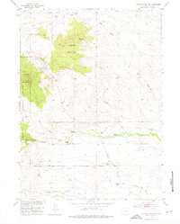
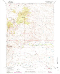
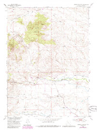
Johnson Mountain dominates the central topography of this Wyoming landscape, positioned within the eastern reaches of the Medicine Bow National Forest. The 1953 field check documents a rural economy defined by cattle ranching and early water management, with the North Laramie River and Dry Laramie River serving as critical lifelines. The presence of the Mitchell Canal, Pine Ditch, and Merkel No 1 Ditch highlights the intensive effort to redirect water across the arid terrain.
Find a feature on this map
30 named features on this map. Tap any name to fly to it.
Don’t see what you’re looking for? This feature index may not catch every label — zoom into the map to look around manually.
Map Details
Editions of this 1953 Johnson Mountain Map
4 editions found
Other maps of this area

1943 · Esterbrook
USGS Topo · 1:62,500

1945 · Esterbrook
USGS Topo · 1:62,500

1950 · Coleman Butte
USGS Topo · 1:24,000

1950 · Cottonwood Falls
USGS Topo · 1:24,000

1951 · Coleman Butte
USGS Topo · 1:24,000

1951 · Cottonwood Falls
USGS Topo · 1:24,000

1953 · Lewis Flat
USGS Topo · 1:24,000

1953 · Hightower
USGS Topo · 1:24,000

1953 · Hightower SW
USGS Topo · 1:24,000

1954 · Torrington
USGS Topo · 1:250,000