
1953 Map of Hightower SW
USGS Topo · Published 1954About this map
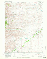
The Laramie River and North Laramie River dominate the landscape of Platte County in the early 1950s, winding through a terrain defined by high ridges and deep draws. Traces of early 20th-century rural life are evident in the presence of discontinued community landmarks, specifically the Wedemeyer School and Slate Creek School, both noted as abandoned by the time of this 1953 survey. The western edge of the map is anchored by the Medicine Bow National Forest, where the topography shifts toward more significant elevations and canyon formations.
Find a feature on this map
31 named features on this map. Tap any name to fly to it.
Don’t see what you’re looking for? This feature index may not catch every label — zoom into the map to look around manually.
Map Details
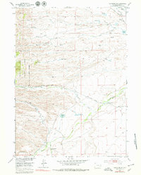
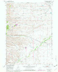
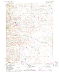
Editions of this 1953 Hightower SW Map
5 editions found
Other maps of this area

1953 · Lewis Flat
USGS Topo · 1:24,000

1953 · Hightower
USGS Topo · 1:24,000

1953 · Natwick
USGS Topo · 1:24,000

1953 · Squaw Rock
USGS Topo · 1:24,000

1953 · Johnson Mountain
USGS Topo · 1:24,000

1954 · Torrington
USGS Topo · 1:250,000

1954 · Cheyenne
USGS Topo · 1:250,000

1955 · Moonshine Peak
USGS Topo · 1:24,000

1958 · Cheyenne
USGS Topo · 1:250,000

1958 · Torrington
USGS Topo · 1:250,000