
1955 Map of Moonshine Peak
USGS Topo · Published 1956About this map
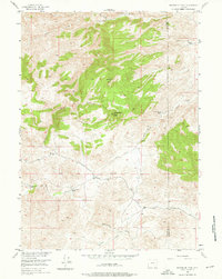
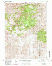
Laramie River and its various tributaries define this mid-century Wyoming ranching landscape, where early 20th-century family holdings were established along high-country water sources. Named homesteads like the Adam Boyd Ranch and William Boyd Ranch sit near the banks of Bluegrass Creek, while the Schreyer Ranch and Bookout Ranch occupy the northern reaches of the quadrangle. The terrain is marked by high elevations such as Moonshine Peak and Government Peak, which provide a sense of the scale of the open range before more intensive modern development. This area was surveyed as part of the Department of the Interior program for the development of the Missouri River Basin. Local transportation patterns are represented by the primitive Wheatland Tunnel Road and Dell Road, connecting these high-altitude outposts. A single Abandoned Mine in the northeast quadrant reflects the intermittent prospecting history of the Albany and Platte county line.
Find a feature on this map
23 named features on this map. Tap any name to fly to it.
Don’t see what you’re looking for? This feature index may not catch every label — zoom into the map to look around manually.
Map Details
Editions of this 1955 Moonshine Peak Map
3 editions found
Other maps of this area

1953 · Natwick SW
USGS Topo · 1:24,000

1953 · Squaw Rock
USGS Topo · 1:24,000

1953 · Hightower SW
USGS Topo · 1:24,000

1954 · Torrington
USGS Topo · 1:250,000

1954 · Cheyenne
USGS Topo · 1:250,000

1955 · Poe Mountain
USGS Topo · 1:24,000

1955 · Guide Rock
USGS Topo · 1:24,000

1955 · Bull Camp Peak
USGS Topo · 1:24,000

1958 · Cheyenne
USGS Topo · 1:250,000

1958 · Torrington
USGS Topo · 1:250,000