
1955 Map of Poe Mountain
USGS Topo · Published 1956About this map
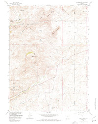
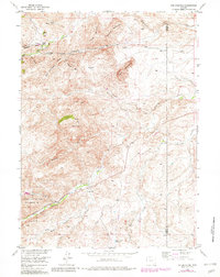
Poe Mountain and the surrounding Laramie Mountains landscape are defined here by a complex drainage network and early cattle ranching infrastructure. The map highlights the Sybille Game and Fish Experimental Unit along the Sybille Creek corridor, reflecting mid-century conservation efforts in Wyoming. Ranching history is central to this area, evidenced by the McGill Ranch near Little Halleck Creek and the Lucy Ranch located south of the North Sybille Creek. These family-named operations operated alongside local institutions like the Garton Sch. The terrain is characterized by deep canyons and prominent peaks, including Gold Hill, Yaunt Mountain, and Red Mountain, while water management is noted through features like Dover Reservoir No 2 and an Aband Canal in the northeast.
Find a feature on this map
32 named features on this map. Tap any name to fly to it.
Don’t see what you’re looking for? This feature index may not catch every label — zoom into the map to look around manually.
Map Details
Editions of this 1955 Poe Mountain Map
3 editions found
Other maps of this area

1953 · Natwick SW
USGS Topo · 1:24,000

1953 · Squaw Rock
USGS Topo · 1:24,000

1954 · Cheyenne
USGS Topo · 1:250,000

1955 · Moonshine Peak
USGS Topo · 1:24,000

1955 · Indian Guide
USGS Topo · 1:24,000

1955 · Guide Rock
USGS Topo · 1:24,000

1955 · Sheep Rock
USGS Topo · 1:24,000

1955 · Bull Camp Peak
USGS Topo · 1:24,000

1958 · Cheyenne
USGS Topo · 1:250,000

1962 · Delano Ranch
USGS Topo · 1:24,000