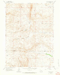
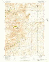
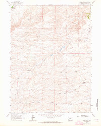
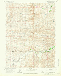
1962 Map of Delano Ranch
USGS Topo · Published 1964About this map
Delano Ranch sits at the center of this Wyoming landscape, where high-altitude drainages define the settlement pattern of the early 1960s. The map illustrates a series of working ranchsteads, including the Martin Ranch to the north and the Miller Ranch further south, each positioned near vital water sources. The topography is dominated by an intricate network of seasonal and perennial streams, most notably the winding paths of Mule Creek, Deadhead Creek, and North Chugwater Creek.
Find a feature on this map
12 named features on this map. Tap any name to fly to it.
Don’t see what you’re looking for? This feature index may not catch every label — zoom into the map to look around manually.
Map Details
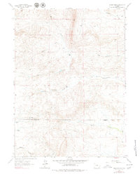
Editions of this 1962 Delano Ranch Map
2 editions found
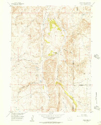
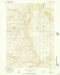
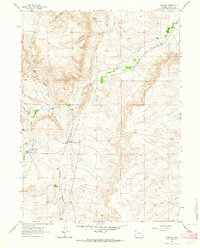
Other maps of this area
1953 · Natwick SW
USGS Topo · 1:24,000
1953 · Richeau Hills
USGS Topo · 1:24,000

1954 · Cheyenne
USGS Topo · 1:250,000
1955 · Poe Mountain
USGS Topo · 1:24,000
1955 · Indian Guide
USGS Topo · 1:24,000
1955 · Goat Mountain
USGS Topo · 1:24,000

1958 · Cheyenne
USGS Topo · 1:250,000
1962 · Farthing
USGS Topo · 1:24,000
1962 · Hirsig Ranch
USGS Topo · 1:24,000
1962 · Mc Donald Ranch
USGS Topo · 1:24,000