
1962 Map of Mc Donald Ranch
USGS Topo · Published 1964About this map
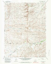
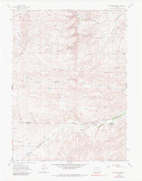
McDonald Ranch and several other family-named landholdings define this high plains landscape of Wyoming in the early 1960s. Located along the boundary of Platte Co and Laramie Co, the area is characterized by a network of seasonal draws and creeks that carved deep relief into the terrain. The Colorado and Southern railroad tracks follow the corridor of Chugwater Creek in the southwest, providing a vital transportation link through the hills. Educational and social life centered around the McDonald Sch, while the presence of the Diamond Ranch and Wiedemeyer Ranch underscores the region's ranching heritage. Numerous named features like North Steer Draw and Mendenhall Draw offer specific geographic markers for genealogists and local historians tracing land use in this part of the state.
Find a feature on this map
24 named features on this map. Tap any name to fly to it.
Don’t see what you’re looking for? This feature index may not catch every label — zoom into the map to look around manually.
Map Details
Editions of this 1962 Mc Donald Ranch Map
3 editions found
Other maps of this area

1953 · Natwick SW
USGS Topo · 1:24,000

1953 · Double L Ranch
USGS Topo · 1:24,000

1953 · Richeau Hills
USGS Topo · 1:24,000

1954 · Cheyenne
USGS Topo · 1:250,000

1958 · Cheyenne
USGS Topo · 1:250,000

1962 · Farthing
USGS Topo · 1:24,000

1962 · Delano Ranch
USGS Topo · 1:24,000

1962 · Bristol Ridge
USGS Topo · 1:24,000

1962 · Hirsig Ranch
USGS Topo · 1:24,000
1962 · Whitcomb Hill
USGS Topo · 1:24,000