
1953 Map of Natwick SW
USGS Topo · Published 1954About this map
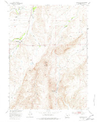
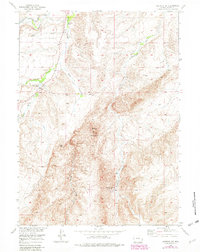
Sheep Mountain dominates the central topography of this Platte County region during the early 1950s, serving as a landmark for a landscape defined by ranching and resource extraction. The map reveals a sparse network of rural infrastructure, including the Sybille School and the formerly active Rosentreter School (Abnd), indicating the shifting population of the Missouri River Basin development area.
Find a feature on this map
10 named features on this map. Tap any name to fly to it.
Don’t see what you’re looking for? This feature index may not catch every label — zoom into the map to look around manually.
Map Details
Editions of this 1953 Natwick SW Map
3 editions found
Other maps of this area

1953 · Natwick
USGS Topo · 1:24,000

1953 · Squaw Rock
USGS Topo · 1:24,000

1953 · Richeau Hills
USGS Topo · 1:24,000

1954 · Cheyenne
USGS Topo · 1:250,000

1955 · Poe Mountain
USGS Topo · 1:24,000

1955 · Moonshine Peak
USGS Topo · 1:24,000

1955 · Indian Guide
USGS Topo · 1:24,000

1958 · Cheyenne
USGS Topo · 1:250,000

1962 · Delano Ranch
USGS Topo · 1:24,000

1962 · Mc Donald Ranch
USGS Topo · 1:24,000