
1953 Map of Natwick
USGS Topo · Published 1954About this map
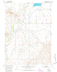
The Cooney Hills rise above a landscape of intensive water management in this Wyoming survey, where the intersection of ranching and irrigation defines the terrain. The small community of Natwick serves as a central point along the Colorado and Southern (Burlington) railroad line, which cuts diagonally through the plains. Local social and educational life is anchored by the Linton School in the southwest and the Rock Lake Grange near the shores of Rock Lake.
Find a feature on this map
21 named features on this map. Tap any name to fly to it.
Don’t see what you’re looking for? This feature index may not catch every label — zoom into the map to look around manually.
Map Details
Editions of this 1953 Natwick Map
2 editions found
Other maps of this area

1896 · Hartville
USGS Topo · 1:125,000

1901 · Hartville
USGS Topo · 1:125,000
1951 · Wheatland
USGS Topo · 1:24,000

1953 · Natwick SW
USGS Topo · 1:24,000

1953 · Double L Ranch
USGS Topo · 1:24,000

1953 · Hightower
USGS Topo · 1:24,000

1953 · Squaw Rock
USGS Topo · 1:24,000

1953 · Ferguson Corner
USGS Topo · 1:24,000

1953 · Hightower SW
USGS Topo · 1:24,000

1953 · Richeau Hills
USGS Topo · 1:24,000