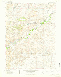
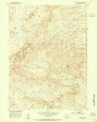
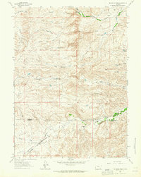
1962 Map of Whitcomb Hill
USGS Topo · Published 1965About this map
The high plains of the Platte Co Laramie Co boundary area come into sharp focus in this early 1960s survey. The landscape is defined by the winding course of Chugwater Creek and its many seasonal tributaries, including Mendenhall Draw and Jacobs Draw. This is a region of established cattle ranching and early transportation corridors, where the Colorado and Southern railroad parallels the creek through the valley floor. Small-scale rural infrastructure is evident at the Chalk Hill Sch and the isolated settlement at Diamond, while the prominent elevations of Degans Butte and Whitcomb Hill provide natural landmarks in an otherwise rolling terrain. The presence of the Whitcomb Ranch and Brinton station points to the vital connection between the railroad and the local livestock economy during this era.
Find a feature on this map
20 named features on this map. Tap any name to fly to it.
Don’t see what you’re looking for? This feature index may not catch every label — zoom into the map to look around manually.
Map Details
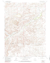
Editions of this 1962 Whitcomb Hill Map
2 editions found
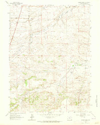
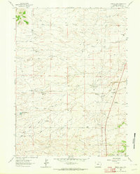
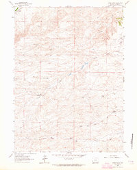
Other maps of this area
1953 · Double L Ranch
USGS Topo · 1:24,000
1953 · Chugwater
USGS Topo · 1:24,000
1953 · Richeau Hills
USGS Topo · 1:24,000

1954 · Cheyenne
USGS Topo · 1:250,000

1958 · Cheyenne
USGS Topo · 1:250,000
1962 · Moffett Ranch
USGS Topo · 1:24,000
1962 · Bristol Ridge
USGS Topo · 1:24,000
1962 · Hirsig Ranch
USGS Topo · 1:24,000
1962 · Mc Donald Ranch
USGS Topo · 1:24,000
1962 · Bristol Ridge NE
USGS Topo · 1:24,000