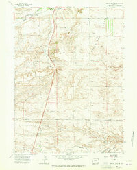
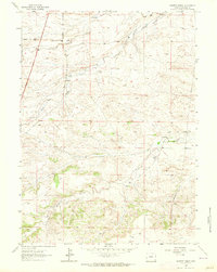
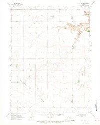
1962 Map of Bristol Ridge NE
USGS Topo · Published 1965About this map
Bristol Ridge rises above a landscape defined by ranching and transit in the early 1960s, spanning the border of Platte Co Laramie Co. This territory is anchored by the Colorado and Southern railroad and U. S. 87, which follow the course of Chugwater Creek through the western half of the map. To the east, the level terrain of the Chugwater Flats provides a sharp contrast to the dissected ridges and drainage networks of North Bear Creek and Dry Creek. The presence of a Gravel Pit and Mud Spring indicates the practical land use and natural water sources critical for life in this part of Wyoming. This survey captures the spatial relationship between the high plains and the vital transport corridors that linked the rural communities of the region before the full expansion of the modern interstate system.
Find a feature on this map
13 named features on this map. Tap any name to fly to it.
Don’t see what you’re looking for? This feature index may not catch every label — zoom into the map to look around manually.
Map Details
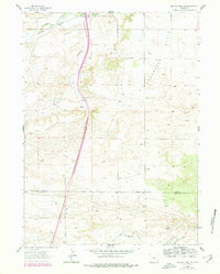
Editions of this 1962 Bristol Ridge NE Map
2 editions found
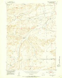
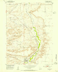
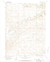
Other maps of this area
1953 · Double L Ranch
USGS Topo · 1:24,000
1953 · Chugwater
USGS Topo · 1:24,000

1954 · Cheyenne
USGS Topo · 1:250,000

1958 · Cheyenne
USGS Topo · 1:250,000
1962 · Moffett Ranch
USGS Topo · 1:24,000
1962 · Bristol Ridge
USGS Topo · 1:24,000
1962 · Whitcomb Hill
USGS Topo · 1:24,000
1963 · C S Ranch
USGS Topo · 1:24,000
1963 · Klutz Canyon
USGS Topo · 1:24,000
1963 · Indian Hill
USGS Topo · 1:24,000