
1963 Map of C S Ranch
USGS Topo · Published 1967About this map
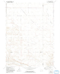
Chugwater Flats and Iowa Center Flats dominate the high plains landscape of this region, which was mapped in the early 1960s. The topography is defined by the sweeping plateaus of these flats, which eventually drop off into the drainage of Bear Creek along the southern border. This area serves as a significant junction for three Wyoming counties, where the boundaries of Platte, Goshen, and Laramie intersect.
Find a feature on this map
9 named features on this map. Tap any name to fly to it.
Don’t see what you’re looking for? This feature index may not catch every label — zoom into the map to look around manually.
Map Details
Editions of this 1963 C S Ranch Map
2 editions found
Other maps of this area

1953 · Chugwater
USGS Topo · 1:24,000

1954 · Cheyenne
USGS Topo · 1:250,000

1958 · Cheyenne
USGS Topo · 1:250,000

1962 · Moffett Ranch
USGS Topo · 1:24,000

1962 · Bristol Ridge NE
USGS Topo · 1:24,000

1963 · Y B O Canyon
USGS Topo · 1:24,000
1963 · Cattail Ranch
USGS Topo · 1:24,000

1963 · Klutz Canyon
USGS Topo · 1:24,000
1963 · Cattail Ranch NE
USGS Topo · 1:24,000
1963 · Indian Hill
USGS Topo · 1:24,000