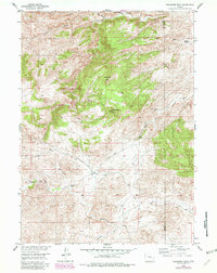
1955 Map of Moonshine Peak
USGS Topo · Published 1982About this map
The high plains of Wyoming meet the dramatic elevations of the Laramie Mountains in this mid-century topographic record. The rugged geography is defined by prominent landmarks like Moonshine Peak and Government Peak, while the flow of the Laramie River and its tributaries such as Bluegrass Creek and Halleck Creek carve through the terrain. A notable engineering feat of the era, the Wheatland Tunnel, is traced as it moves water through the divide, supporting the region's agricultural viability.
Find a feature on this map
21 named features on this map. Tap any name to fly to it.
Don’t see what you’re looking for? This feature index may not catch every label — zoom into the map to look around manually.
Map Details
Editions of this 1955 Moonshine Peak Map
3 editions found
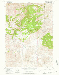
Other maps of this area

1953 · Natwick SW
USGS Topo · 1:24,000

1953 · Squaw Rock
USGS Topo · 1:24,000

1953 · Hightower SW
USGS Topo · 1:24,000

1954 · Torrington
USGS Topo · 1:250,000

1954 · Cheyenne
USGS Topo · 1:250,000

1955 · Poe Mountain
USGS Topo · 1:24,000

1955 · Moonshine Peak
USGS Topo · 1:24,000

1955 · Guide Rock
USGS Topo · 1:24,000

1955 · Bull Camp Peak
USGS Topo · 1:24,000

1958 · Cheyenne
USGS Topo · 1:250,000