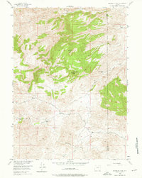
1955 Map of Moonshine Peak
USGS Topo · Published 1976About this map
The Laramie River carves through this high-elevation landscape on the border of Albany and Platte counties, where mid-century ranching life centered on isolated family homesteads. The terrain is dominated by significant landforms like Moonshine Peak and Government Boyd Peak, which overlook the deep incisions of Bradbury Gulch and Moonshine Hollow.
Find a feature on this map
18 named features on this map. Tap any name to fly to it.
Don’t see what you’re looking for? This feature index may not catch every label — zoom into the map to look around manually.
Map Details
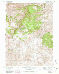
Editions of this 1955 Moonshine Peak Map
3 editions found
Other maps of this area

1953 · Natwick SW
USGS Topo · 1:24,000

1953 · Squaw Rock
USGS Topo · 1:24,000

1953 · Hightower SW
USGS Topo · 1:24,000

1954 · Torrington
USGS Topo · 1:250,000

1954 · Cheyenne
USGS Topo · 1:250,000

1955 · Poe Mountain
USGS Topo · 1:24,000

1955 · Moonshine Peak
USGS Topo · 1:24,000

1955 · Guide Rock
USGS Topo · 1:24,000

1955 · Bull Camp Peak
USGS Topo · 1:24,000

1958 · Cheyenne
USGS Topo · 1:250,000