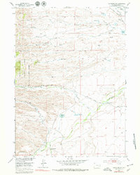
1953 Map of Hightower SW
USGS Topo · Published 1979About this map
High-altitude grazing and water management define this Platte County landscape in the early 1950s. The Laramie River and Dry Laramie River cut through the terrain, supported by a network of man-made irrigation features like the Cramer Ditch and Mertz Ditch. The presence of the Wedemeyer School (Aban'd) and Slate Creek Sch (Aban'd) suggests a shifting rural population, as these once-active centers of the ranching community were already noted as abandoned by the time of the field check. To the west, the Medicine Bow National Forest boundary marks the transition into more rugged timberland, while local industry is represented by the Marble Quarry near Marble Quarry Creek. A web of unimproved routes, including the Scranton Road and Wagonhound Road, provided the primary access for family operations and early surveyors working this high plains environment.
Find a feature on this map
37 named features on this map. Tap any name to fly to it.
Don’t see what you’re looking for? This feature index may not catch every label — zoom into the map to look around manually.
Map Details
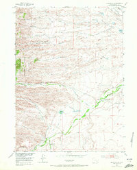
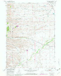
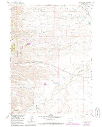
Editions of this 1953 Hightower SW Map
5 editions found
Other maps of this area

1953 · Lewis Flat
USGS Topo · 1:24,000

1953 · Hightower
USGS Topo · 1:24,000

1953 · Natwick
USGS Topo · 1:24,000

1953 · Squaw Rock
USGS Topo · 1:24,000

1953 · Hightower SW
USGS Topo · 1:24,000

1953 · Johnson Mountain
USGS Topo · 1:24,000

1954 · Torrington
USGS Topo · 1:250,000

1954 · Cheyenne
USGS Topo · 1:250,000

1955 · Moonshine Peak
USGS Topo · 1:24,000

1958 · Cheyenne
USGS Topo · 1:250,000