Old Maps of Wendover, Wyoming for Metal Detecting
Plan your next treasure hunt with 13 historic maps of Wendover. Find old homesites, ghost towns, trails, and gathering spots that may be lost to time — perfect for identifying promising metal detecting locations.
- Locate forgotten sites: Uncover places like long-lost settlements, abandoned rail lines, or gathering spots.
- Plan better hunts: Use map overlays combined with LiDAR or satellite views to narrow in on historically rich areas.
- Made for detectorists: Thousands of hobbyists use these maps to discover relics, coins, and hidden history.
Use these historic maps to boost your research and find new opportunities beneath the surface of Wendover.
Wendover, WY maps
(13)- 1896 Map of Hartville
 1896 Hartville1896 Print · USGSSoutheast Wyoming in the late nineteenth century was a territory of vital river crossings and early industry. Researchers can trace the junction of the Laramie River and North Platte River near Fort Laramie and locate early rail hubs at Wheatland and Wendover.
 - 1901 Map of Hartville
 1901 Hartville1901 Print · USGSEastern Wyoming at the turn of the century reveals a landscape defined by the arrival of the rails and the legacy of the frontier. Genealogists can trace family ranching sites like Dotys Ranch or early towns such as Hartville and Fort Laramie.2 unique versions available
 - 1950 Map of Guernsey Reservoir, 1978 Print
 1950 Guernsey Reservoir1978 Print · USGSMid-century Platte County reveals the intersection of pioneer migration and modern reclamation projects along the North Platte. Researchers can trace the Emigrant Trail past local landmarks like Frederick Ranch and the Lucindy Rollins Grave.2 unique versions available
 - 1951 Map of Guernsey Reservoir
 1951 Guernsey Reservoir1951 Print · USGSThe Platte River valley in the early fifties shows a landscape shaped by both the Oregon Trail's legacy and modern hydro-development. Genealogists and historians can trace the Lucinda Rollins Grave, several Oregon Trail Marker sites, and early ranching outposts like Wendover Bend Ranch.
 - 1954 Map of Torrington, 1963 Print
 1954 Torrington1963 Print · USGSEastern Wyoming and the Nebraska borderlands are captured here during the mid-fifties, showing a landscape shaped by the Platte River and the Laramie Range. Researchers can trace deep history at the Fort Laramie National Historical Site, the Old Doty Ranch Site, and along the Old Fetterman Road.4 unique versions available
 - 1958 Map of Torrington
 1958 Torrington1958 Print · USGSEastern Wyoming and the Nebraska borderlands are captured in the late fifties, showcasing a landscape of high plains ranching and river-fed industry. Trace the historic paths of the Union Pacific railroad and find legacy sites like Fort Laramie and Sunrise.
 - 1971 Map of Guernsey Reservoir, 1972 Print
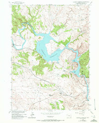 1971 Guernsey Reservoir1972 Print · USGSPioneer history and mid-century recreation meet along the North Platte River in Platte County. Researchers can trace the Emigrant Trail past the Lucinda Rollins Grave or locate the CCC Camp (Aband) near the reservoir.
 - 1978 Map of Torrington
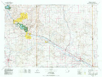 1978 Torrington1978 Print · USGSSoutheast Wyoming in the late seventies reveals a landscape shaped by the North Platte River and a dense network of major rail lines. Researchers can locate the Fort Laramie National Historic Site, the Camp Guernsey Training Area, and original stops along the Union Pacific railroad.2 unique versions available
 - 1990 Map of Guernsey Reservoir, 1995 Print
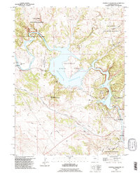 1990 Guernsey Reservoir1995 Print · USGSThe North Platte River corridor in the 1990s reveals a complex layer of western migration history and modern utility. Trace the storied Emigrant Trail past several Oregon Trail Markers and explore the rugged layout of Guernsey State Park.
 - 2012 Map of Guernsey Reservoir, 2012 Print
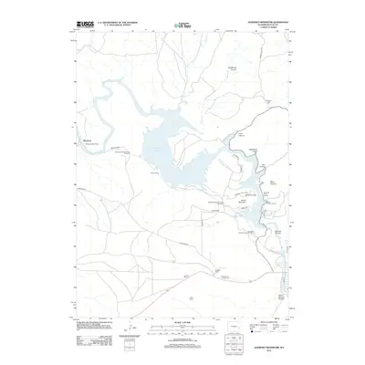 2012 Guernsey Reservoir2012 Print · USGSThe North Platte River valley near Guernsey reveals a complex landscape of ranching and rail infrastructure in the early twenty-first century. Researchers can trace the Burlington Northern rail line through Burlinton Northern Tunnel Number 3 and locate historic family holdings like Frederick Ranch and Sudbury Ranch.
 - 2015 Map of Guernsey Reservoir, 2015 Print
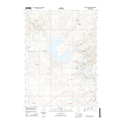 2015 Guernsey Reservoir2015 Print · USGSGuernsey and the North Platte River canyons are shown here in the mid-2010s, where reservoir waters meet historic western trails. Researchers can locate the Lucindy Rollins Grave and trace the complex paths of Burlington Northern Tunnel Number 1 and Burlington Northern Tunnel Number 2.
 - 2018 Map of Guernsey Reservoir, 2018 Print
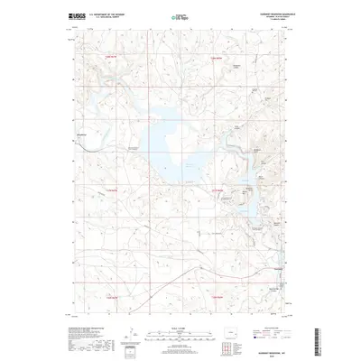 2018 Guernsey Reservoir2018 Print · USGSThe Platte County landscape comes into focus in 2018, centered on the reservoir and the historic path of the North Platte River. Trace pioneer history and rail expansion through the Emigrant Hill Cem, Lucindy Rollins Grave, and three major tunnels.
 - 2021 Map of Guernsey Reservoir, 2021 Print
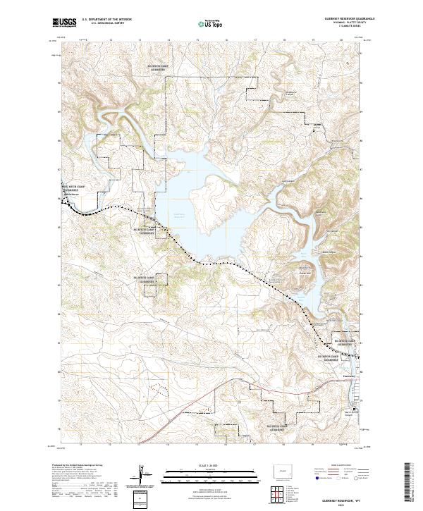 2021 Guernsey Reservoir2021 Print · USGSThe North Platte River valley and its modern impoundment appear here in the early twenty-first century. Researchers can trace historic overland passage via the Emigrant Hill Cem or locate the Lucindy Rollins Grave near the reservoir's southern edge.
End of results
Showing maps 1-13 of 13
Top cities near Wendover
Frequently asked questions
- What are the different types of historical maps available for Wendover?
- What is the oldest map of Wendover?
- Where can I purchase historical maps of Wendover for my home or office?
- Where can I download high-res historical maps of Wendover?
- Are there historical topographic maps available for Wendover?
- Is there historical aerial imagery available for Wendover?
- Where are historical maps of Wendover sourced from?