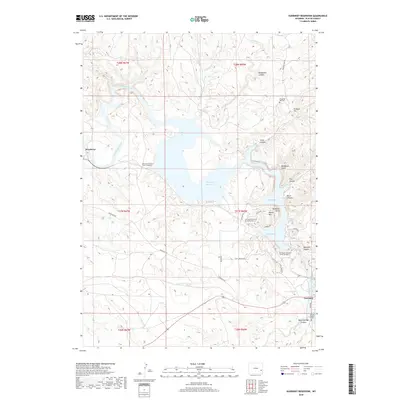
2018 Map of Guernsey Reservoir
USGS Topo · Published 2018About this map
Guernsey Reservoir dominates the center of this 2018 survey, where the North Platte River is impounded amidst a landscape defined by steep canyons and pioneer history. Along the eastern heights, Emigrant Hill and the Emigrant Hill Cem overlook the water, marking the path of historic westward travel. At the southern edge of the map, the Lucindy Rollins Grave near Warm Springs Canyon provides a specific genealogical touchstone to the early settlers of the region.
Find a feature on this map
39 named features on this map. Tap any name to fly to it.
Don’t see what you’re looking for? This feature index may not catch every label — zoom into the map to look around manually.
Map Details
Editions of this 2018 Guernsey Reservoir Map
This is the sole edition of this map. No revisions or reprints were ever made.
Other maps of this area

1896 · Hartville
USGS Topo · 1:125,000

1901 · Hartville
USGS Topo · 1:125,000

1950 · Guernsey
USGS Topo · 1:24,000

1950 · Herman Ranch
USGS Topo · 1:24,000

1950 · Register Cliff
USGS Topo · 1:24,000

1950 · Haushar Ranch
USGS Topo · 1:24,000

1950 · Hell Gap
USGS Topo · 1:24,000

1950 · Guernsey Reservoir
USGS Topo · 1:24,000

1951 · Haushar Ranch
USGS Topo · 1:24,000

1951 · Guernsey Reservoir
USGS Topo · 1:24,000