
1950 Map of Guernsey
USGS Topo · Published 1952About this map
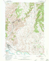
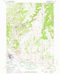
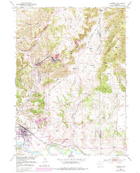
Guernsey and its surroundings serve as a vital intersection of Wyoming’s industrial and pioneer history at the midpoint of the twentieth century. The map illustrates a landscape defined by deep-vein extraction and heavy transport, centered on the Colo and Wyo and CB&Q rail lines that service the iron-rich hills. Settlements like Sunrise and Hartville are shown alongside extensive mining operations, including the Chicago Mine and the Good Fortune Mine.
Find a feature on this map
51 named features on this map. Tap any name to fly to it.
Don’t see what you’re looking for? This feature index may not catch every label — zoom into the map to look around manually.
Map Details
Editions of this 1950 Guernsey Map
4 editions found
Other maps of this area

1896 · Hartville
USGS Topo · 1:125,000

1901 · Hartville
USGS Topo · 1:125,000

1950 · Casebier Hill
USGS Topo · 1:24,000

1950 · Fort Laramie
USGS Topo · 1:24,000

1950 · Register Cliff
USGS Topo · 1:24,000

1950 · Haushar Ranch
USGS Topo · 1:24,000

1950 · Hell Gap
USGS Topo · 1:24,000

1950 · Guernsey Reservoir
USGS Topo · 1:24,000

1951 · Haushar Ranch
USGS Topo · 1:24,000

1951 · Guernsey Reservoir
USGS Topo · 1:24,000