1950 Map of Hell Gap
USGS Topo · Published 1976About this map
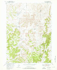
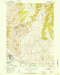
Wild Cat Hills rise above the drainage of Broom Creek and Patten Creek in this mid-century survey of the Platte and Goshen county line. The landscape is defined by its ranching heritage, with several family-named locations such as the Old 4J Ranch, Brownrigg Ranch, and the Muthart Place marking the sparse settlement of the high plains. A clear transition in local infrastructure is evident near the Patten Creek Sch (Aband), reflecting shifts in the rural population center. Industrial activity is represented by the Greenhope Mine (Inactive) and a prominent Oil Pipe Line cutting across the terrain. The topography drops sharply into Whalen Canyon near the eponymous Hell Gap, where the rugged breaks provide a stark contrast to the surrounding creek draws.
Find a feature on this map
18 named features on this map. Tap any name to fly to it.
Don’t see what you’re looking for? This feature index may not catch every label — zoom into the map to look around manually.
Map Details
Editions of this 1950 Hell Gap Map
3 editions found
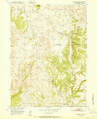
Other maps of this area

1896 · Hartville
USGS Topo · 1:125,000

1901 · Hartville
USGS Topo · 1:125,000
1949 · Cedar Top
USGS Topo · 1:24,000

1950 · Cedar Top
USGS Topo · 1:24,000
1950 · Guernsey
USGS Topo · 1:24,000

1950 · Casebier Hill
USGS Topo · 1:24,000
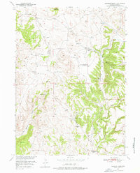
1950 · Haushar Ranch
USGS Topo · 1:24,000
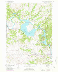
1950 · Guernsey Reservoir
USGS Topo · 1:24,000
1951 · Haushar Ranch
USGS Topo · 1:24,000

1951 · Guernsey Reservoir
USGS Topo · 1:24,000