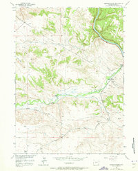
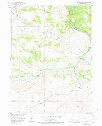
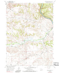
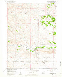
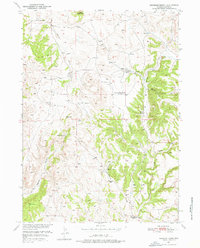
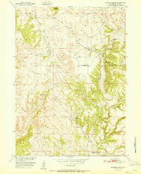
1950 Map of Herman Ranch
USGS Topo · Published 1973About this map
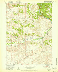
Herman Ranch and Russel Ranch anchor this landscape along the deep cuts of the North Platte River, capturing a pivotal corridor of Western transit just after the mid-century. The map meticulously traces the historic Emigrant Trail, including a specific Oregon Trail Marker and several isolated Grave sites that speak to the arduous journey of earlier pioneers. These heritage routes run parallel to the modern machinery of the era, such as the Burlington Northern and Colorado and Southern railroads, and several Pipe Lines cutting across the terrain.
Find a feature on this map
22 named features on this map. Tap any name to fly to it.
Don’t see what you’re looking for? This feature index may not catch every label — zoom into the map to look around manually.
Map Details
Editions of this 1950 Herman Ranch Map
3 editions found
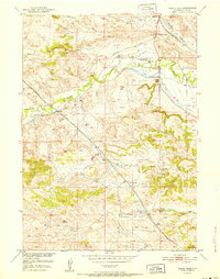
Other maps of this area

1896 · Hartville
USGS Topo · 1:125,000

1901 · Hartville
USGS Topo · 1:125,000
1950 · Coleman Butte
USGS Topo · 1:24,000
1950 · Haushar Ranch
USGS Topo · 1:24,000
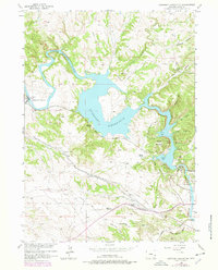
1950 · Guernsey Reservoir
USGS Topo · 1:24,000

1951 · Coleman Butte
USGS Topo · 1:24,000
1951 · Sibley Peak
USGS Topo · 1:24,000
1951 · Haushar Ranch
USGS Topo · 1:24,000

1951 · Guernsey Reservoir
USGS Topo · 1:24,000
1951 · Herman Ranch
USGS Topo · 1:24,000