Old Maps of Westview Circle, Wyoming for Academic Research
Study the evolution of Westview Circle with 8 high-resolution historic maps. Whether you're teaching, researching, or modeling changes in land use, these maps provide essential visual documentation of urban, environmental, and geographic change.
- Analyze long-term change: Track patterns in development, transportation, and natural features.
- Ideal for environmental or urban studies: Support academic projects with primary historical map data.
- Use in the classroom or lab: Educators and researchers rely on these maps to bring historical context to life.
These maps are a powerful tool for teaching, research, and visualizing how Westview Circle has changed over the decades.
Westview Circle, WY maps
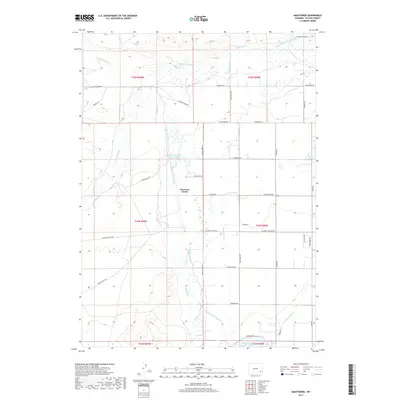
(8)- 1953 Map of Hightower, 1954 Print
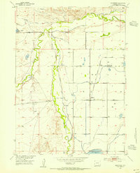 1953 Hightower1954 Print · USGSPlatte County ranching and irrigation systems are frozen in time during the early fifties, showing the vital water networks of the High Plains. Genealogists and local historians can locate the Wilkinson School, trace the Colorado and Southern Canal, or find family landmarks near Wilson and Hightower.2 unique versions available
 - 1954 Map of Torrington, 1963 Print
 1954 Torrington1963 Print · USGSEastern Wyoming and the Nebraska borderlands are captured here during the mid-fifties, showing a landscape shaped by the Platte River and the Laramie Range. Researchers can trace deep history at the Fort Laramie National Historical Site, the Old Doty Ranch Site, and along the Old Fetterman Road.4 unique versions available
 - 1958 Map of Torrington
 1958 Torrington1958 Print · USGSEastern Wyoming and the Nebraska borderlands are captured in the late fifties, showcasing a landscape of high plains ranching and river-fed industry. Trace the historic paths of the Union Pacific railroad and find legacy sites like Fort Laramie and Sunrise.
 - 1981 Map of Laramie Peak
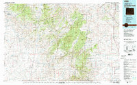 1981 Laramie Peak1981 Print · USGSThe Laramie Mountains and Medicine Bow National Forest define this landscape in the early eighties. Genealogists and historians can trace high-country settlements like Toltec and Binford, or locate industrial sites like the Mica Mine near the North Laramie River.2 unique versions available
 - 2012 Map of Hightower, 2012 Print
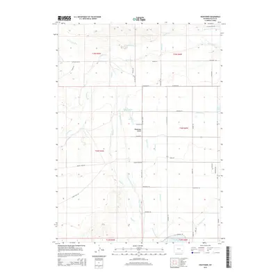
 2012 Hightower2012 Print · USGSCovers Westview Circle, including Platte County, United States, and other nearby areas
 - 2015 Map of Hightower, 2015 Print
 2015 Hightower2015 Print · USGSCovers Westview Circle, including Platte County, United States, and other nearby areas
 - 2017 Map of Hightower, 2017 Print
 2017 Hightower2017 Print · USGSCovers Westview Circle, including Platte County, United States, and other nearby areas
 - 2021 Map of Hightower, 2021 Print
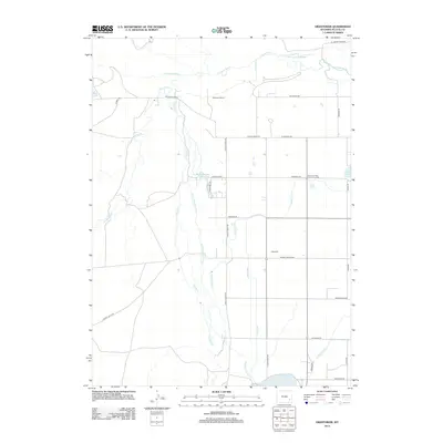
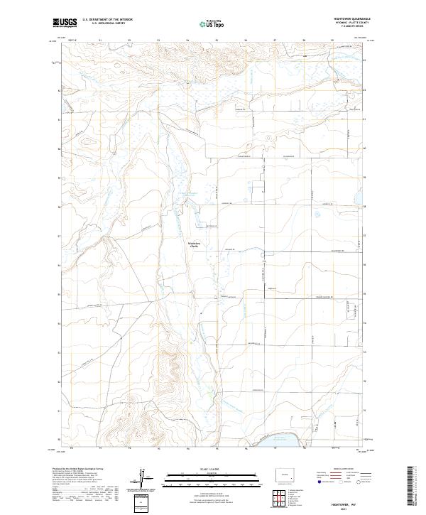 2021 Hightower2021 Print · USGSPlatte County ranching country is mapped here during the early twenty-first century, showing a landscape shaped by long-standing irrigation traditions. Researchers can trace the courses of the Laramie River and the Number 2 Canal, or locate the rural settlement of Hightower.
End of results
Showing maps 1-8 of 8
Top cities near Westview Circle
Frequently asked questions
- What are the different types of historical maps available for Westview Circle?
- What is the oldest map of Westview Circle?
- Where can I purchase historical maps of Westview Circle for my home or office?
- Where can I download high-res historical maps of Westview Circle?
- Are there historical topographic maps available for Westview Circle?
- Is there historical aerial imagery available for Westview Circle?
- Where are historical maps of Westview Circle sourced from?