Old Maps of Burntfork, Wyoming for Metal Detecting
Plan your next treasure hunt with 9 historic maps of Burntfork. Find old homesites, ghost towns, trails, and gathering spots that may be lost to time — perfect for identifying promising metal detecting locations.
- Locate forgotten sites: Uncover places like long-lost settlements, abandoned rail lines, or gathering spots.
- Plan better hunts: Use map overlays combined with LiDAR or satellite views to narrow in on historically rich areas.
- Made for detectorists: Thousands of hobbyists use these maps to discover relics, coins, and hidden history.
Use these historic maps to boost your research and find new opportunities beneath the surface of Burntfork.
Burntfork, WY maps
(9)- 1954 Map of Ogden, 1967 Print
 1954 Ogden1967 Print · USGSThe northern Utah corridor and Wyoming borderlands are captured here in the mid-1950s, showing the region's transition from mountain wilderness to settled valleys. Researchers can trace historic institutions like Utah State University or locate vanished points like Church Butte Station and the Trappist Monastery.3 unique versions available
 - 1958 Map of Ogden
 1958 Ogden1958 Print · USGSNorthern Utah and southwestern Wyoming are captured here during a period of steady growth and military expansion. You can trace the Union Pacific rail lines and early road networks connecting Ogden and Logan to Bear Lake and Evanston.
 - 1960 Map of Ogden
 1960 Ogden1960 Print · USGSIn the mid-1950s, this region of the American West balanced military expansion with frontier history along the Union Pacific RR. Genealogists and historians can trace old settlements like Fort Bridger, the residential growth of Washington Terrace, and industrial sites from the Hill AFB complex to the coal mines of Kemmerer.
 - 1964 Map of Burntfork, 1968 Print
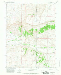 1964 Burntfork1968 Print · USGSThe ranching country of Uinta County is captured here in the mid-1960s, showing the intricate water systems that sustained this high-desert community. Researchers can trace family history through the Stewart Cem and locate local landmarks like Turtle Bluff and the Nielsen Ditch.2 unique versions available
 - 1980 Map of Evanston, 1992 Print
 1980 Evanston1992 Print · USGSSouthwestern Wyoming at the start of the eighties shows a landscape of mountain forests and high-plateau ranching towns. Trace the Union Pacific line through Evanston or explore the historic vicinity of Fort Bridger and Piedmont.
 - 2012 Map of Burntfork, 2012 Print
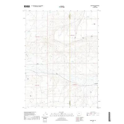
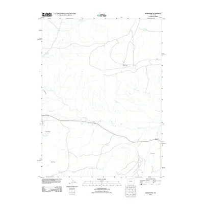 2012 Burntfork2012 Print · USGSCovers Burntfork, including Sweetwater County, Uinta County, and other nearby areas
 - 2015 Map of Burntfork, 2015 Print
 2015 Burntfork2015 Print · USGSCovers Burntfork, including Sweetwater County, Uinta County, and other nearby areas
 - 2017 Map of Burntfork, 2017 Print
 2017 Burntfork2017 Print · USGSCovers Burntfork, including Sweetwater County, Uinta County, and other nearby areas
 - 2021 Map of Burntfork, 2021 Print
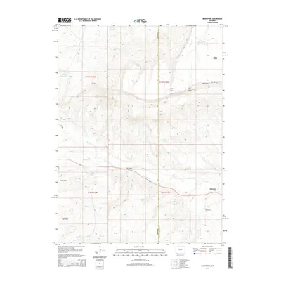
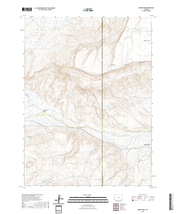 2021 Burntfork2021 Print · USGSThe ranching country of Uinta County is mapped here during a period of modern water management and cattle history. Researchers can locate family landmarks such as the McGinnis - Bullock Cem, Widdop Cem, and the settlement of Burntfork.
End of results
Showing maps 1-9 of 9
Frequently asked questions
- What are the different types of historical maps available for Burntfork?
- What is the oldest map of Burntfork?
- Where can I purchase historical maps of Burntfork for my home or office?
- Where can I download high-res historical maps of Burntfork?
- Are there historical topographic maps available for Burntfork?
- Is there historical aerial imagery available for Burntfork?
- Where are historical maps of Burntfork sourced from?