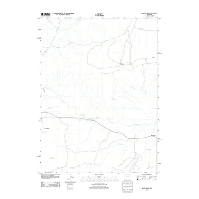
2012 Map of Burntfork
USGS Topo · Published 2012About this map
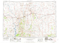
Henrys Fork and its various tributaries carve through this high-altitude landscape in Sweetwater County, shaping the settlement patterns of the small community at Burntfork. The 2012 geography is defined by a complex network of water management, visible in the numerous reservoirs like Behunin Reservoir, Slide Reservoir, and Well Reservoir, as well as the essential Nielsen Ditch and Cedar Basin Ditch. These features reflect the area's agricultural reliance on redirected mountain runoff. Near the border of the Bald Range, family-named landmarks such as the Widdop Cem and the Nielsen Spring offer specific points of interest for genealogists tracing local lineage. The terrain rises significantly toward Cedar Mountain in the northeast, while the settlement at Coal Hollow sits centrally along the winding course of the creek, illustrating how the natural topography of the basin dictated the placement of early ranching and residential sites.
Find a feature on this map
23 named features on this map. Tap any name to fly to it.
Don’t see what you’re looking for? This feature index may not catch every label — zoom into the map to look around manually.
Map Details
Editions of this 2012 Burntfork Map
This is the sole edition of this map. No revisions or reprints were ever made.
Other maps of this area

1885 · Ashley
USGS Topo · 1:250,000
1885 · Uinta
USGS Topo · 1:250,000
1905 · Gilbert Peak
USGS Topo · 1:125,000
1906 · Gilbert Peak
USGS Topo · 1:125,000
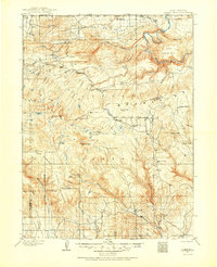
1906 · Marsh Peak
USGS Topo · 1:125,000
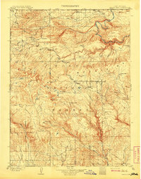
1908 · Marsh Peak
USGS Topo · 1:125,000
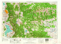
1954 · Salt Lake City
USGS Topo · 1:250,000

1954 · Vernal
USGS Topo · 1:250,000
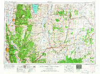
1954 · Ogden
USGS Topo · 1:250,000
1954 · Rock Springs
USGS Topo · 1:250,000