Old Maps of Greenhough Place, Wyoming
Explore 10 old maps of Greenhough Place, spanning from 1954 to today. These high-resolution historic maps reveal how streets, neighborhoods, landmarks, and natural features evolved over time — perfect for genealogy, metal detecting, research, and local history exploration.
What you can do with these maps:
- See how Greenhough Place changed over time: Compare historical maps to modern-day views to trace roads, homesites, rail lines & more.
- View detailed metadata: Each map includes creators, publishers, year, scale, and archive source.
- Overlay maps with satellite & LiDAR: Visualize the past alongside modern tools to explore terrain & human change.
- Trusted historical sources: Maps sourced from the USGS, Library of Congress, and other archives.
- Access maps your way: View online, download high-res files, or order prints for personal or research use.
Start exploring old maps of Greenhough Place to uncover forgotten places, hidden landmarks, and the deep history beneath your feet.
Greenhough Place, WY maps
(10)- 1954 Map of Rock Springs, 1969 Print
 1954 Rock Springs1969 Print · USGSSouthern Wyoming at the peak of the mid-century energy boom is defined by the vital rail corridor and the high desert of the Red Desert Basin. Trace the development of mining towns like Superior and Reliance alongside the Union Pacific RR and historical landmarks like Pilot Butte.2 unique versions available
 - 1958 Map of Rock Springs
 1958 Rock Springs1958 Print · USGSThe high desert of Sweetwater County comes into focus during the mid-1950s, centered on the rail-and-road corridor through Rock Springs. Genealogists and historians can trace family landholdings and infrastructure at Barnhart Ranch, Little America, and the Union Pacific line.2 unique versions available
 - 1962 Map of Rock Springs
 1962 Rock Springs1962 Print · USGSThe high desert of Sweetwater County in the early 1960s reveals a rugged ranching and energy landscape centered on Rock Springs. Genealogists can trace family holdings like the Erikson-Kent Ranch and Barnhart Ranch alongside the Union Pacific line.
 - 1963 Map of Richards Gap, 1966 Print
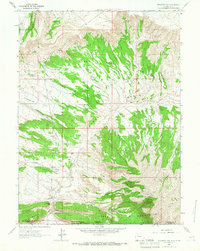 1963 Richards Gap1966 Print · USGSThe high desert borderlands between Wyoming and Utah are captured in the early 1960s, showing a remote landscape of canyons and springs. Trace the historic pathways through Richards Gap and locate old water sources like Bad Steer Spring and Ely Spring.3 unique versions available
 - 1980 Map of Firehole Canyon, 1993 Print
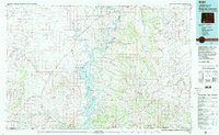 1980 Firehole Canyon1993 Print · USGSSweetwater County and the tri-state border region are mapped here in the early eighties as the reservoir system reshaped the high desert. Researchers can trace remote settlements like McKinnon and landforms such as Massacre Hill and the Red Creek Badlands.2 unique versions available
 - 2011 Map of Richards Gap, 2011 Print
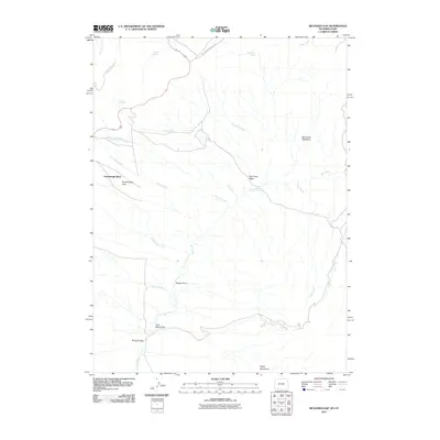 2011 Richards Gap2011 Print · USGSThe Wyoming and Utah borderlands come into focus in the early twenty-first century, showing a high-desert landscape shaped by ranching and resource extraction. Researchers can trace landforms like Richards Gap and Coal Mine Draw alongside vital water sources such as Jones Springs.
 - 2012 Map of Richards Gap, 2012 Print
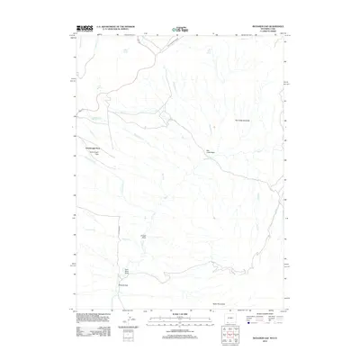 2012 Richards Gap2012 Print · USGSThis high-desert territory in Sweetwater County was mapped just over a decade ago, showing the intersection of ranching history and modern infrastructure. Genealogists and historians can locate family-named sites like Greenhough Place and resource landmarks such as Coal Mine Draw and Richards Gap.
 - 2015 Map of Richards Gap, 2015 Print
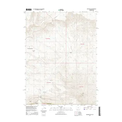 2015 Richards Gap2015 Print · USGSThe Wyoming-Utah border country comes into focus in the mid-2010s, showcasing a landscape of high ridges and isolated springs. Genealogists and historians can trace local landmarks like Greenhough Place, Richards Gap, and the industrial path of CLAY BASIN PIPELINE RD.
 - 2018 Map of Richards Gap, 2018 Print
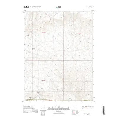 2018 Richards Gap2018 Print · USGSSpanning the Wyoming and Utah border in the late 2010s, this area reflects a landscape of resource extraction and remote high-country ranching. Researchers can locate named topographical features like Coal Mine Draw, the wide Greenhough Flats, and Richards Gap.
 - 2021 Map of Richards Gap, 2021 Print
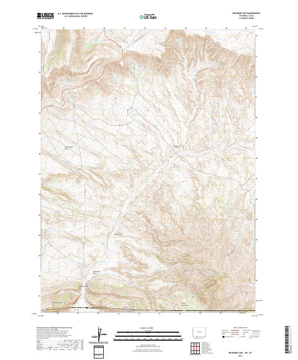 2021 Richards Gap2021 Print · USGSThe High Desert borderlands of Wyoming and Utah are detailed in this survey of a rugged interior corridor. Researchers can trace historical routes and remote water sources like Richards Gap, Coal Mine Draw, and Castello Spring.
End of results
Showing maps 1-10 of 10
Frequently asked questions
- What are the different types of historical maps available for Greenhough Place?
- What is the oldest map of Greenhough Place?
- Where can I purchase historical maps of Greenhough Place for my home or office?
- Where can I download high-res historical maps of Greenhough Place?
- Are there historical topographic maps available for Greenhough Place?
- Is there historical aerial imagery available for Greenhough Place?
- Where are historical maps of Greenhough Place sourced from?