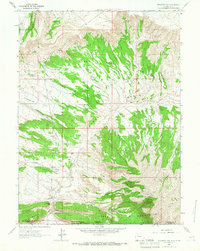
1963 Map of Richards Gap
USGS Topo · Published 1966About this map
Richards Gap serves as a prominent natural pass through the high country along the border of Sweetwater County, Wyoming, and Daggett County, Utah. In the early 1960s, this landscape was characterized by a remote network of trails, including a Pack Trail and various Jeep Trails, which facilitated movement through the Red Creek Badlands and across the Tepee Mountains. Water sources were critical to the survival of livestock and travelers in this arid environment, evidenced by numerous named points such as Bad Steer Spring, Jones Springs, and Castello Spring. The inclusion of a Pipe Line and several Drill Holes indicates the era's ongoing exploration and infrastructure development in the drainage basins of Red Creek and Greenhough Creek. Geologists and researchers can also observe the topographical shifts from Greenhough Flats into the carved-out depths of Scott Canyon.
Find a feature on this map
34 named features on this map. Tap any name to fly to it.
Don’t see what you’re looking for? This feature index may not catch every label — zoom into the map to look around manually.
Map Details
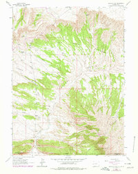
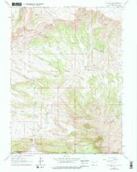
Editions of this 1963 Richards Gap Map
3 editions found
Other maps of this area

1885 · Ashley
USGS Topo · 1:250,000

1952 · Willow Creek Butte
USGS Topo · 1:24,000

1952 · Clay Basin
USGS Topo · 1:24,000

1952 · Goslin Mtn
USGS Topo · 1:24,000

1954 · Vernal
USGS Topo · 1:250,000

1954 · Rock Springs
USGS Topo · 1:250,000

1957 · Currant Creek Ranch
USGS Topo · 1:62,500

1958 · Vernal
USGS Topo · 1:250,000

1958 · Rock Springs
USGS Topo · 1:250,000

1960 · Vernal
USGS Topo · 1:250,000