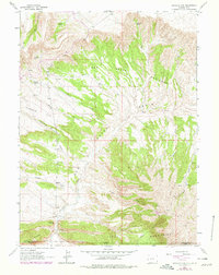
1963 Map of Richards Gap
USGS Topo · Published 1979About this map
The high desert landscape of the Wyoming-Utah border comes into sharp focus through this mid-century survey, illustrating a terrain defined by drainage patterns and remote springs. The state line divides Sweetwater and Daggett Counties, cutting across a series of rugged landforms including the Richards Mountains and the Tepee Mountains. Water sources are vital landmarks in this arid region, evidenced by numerous named points like Castello Spring, Jones Springs, and Beef Steer Spring. The map documents a sparsely inhabited area where human activity is marked primarily by infrastructure for resource extraction and navigation, such as Coal Mine Draw, a Drill Hole, and a network of Pack Trails and Jeep Trails. The dramatic topography is further highlighted by the Red Creek Badlands and the wide expanse of Greenhough Flats, showing the transition between basin floors and mountain ridges.
Find a feature on this map
29 named features on this map. Tap any name to fly to it.
Don’t see what you’re looking for? This feature index may not catch every label — zoom into the map to look around manually.
Map Details
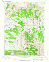
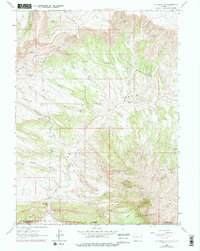
Editions of this 1963 Richards Gap Map
3 editions found
Other maps of this area

1885 · Ashley
USGS Topo · 1:250,000

1952 · Willow Creek Butte
USGS Topo · 1:24,000

1952 · Clay Basin
USGS Topo · 1:24,000

1952 · Goslin Mtn
USGS Topo · 1:24,000

1954 · Vernal
USGS Topo · 1:250,000

1954 · Rock Springs
USGS Topo · 1:250,000

1957 · Currant Creek Ranch
USGS Topo · 1:62,500

1958 · Vernal
USGS Topo · 1:250,000

1958 · Rock Springs
USGS Topo · 1:250,000

1960 · Vernal
USGS Topo · 1:250,000