
1952 Map of Goslin Mtn
USGS Topo · Published 1954About this map
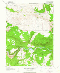
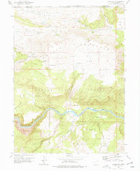
Goslin Mountain dominates the high ground along the Wyoming Utah border, overlooking a landscape defined by sharp elevation changes and essential water sources. This early 1950s survey documents the region just before significant hydrological changes, showing the Green River as it winds through Red Canyon and past Devils Hole. Cattlemen and early settlers relied on scattered water points like Edith Aspden Park Springs, Dripping Spr, and Manns Spring to navigate the arid reaches of Antelope Flat and The Glades.
Find a feature on this map
33 named features on this map. Tap any name to fly to it.
Don’t see what you’re looking for? This feature index may not catch every label — zoom into the map to look around manually.
Map Details
Editions of this 1952 Goslin Mtn Map
3 editions found
Other maps of this area

1885 · Ashley
USGS Topo · 1:250,000

1952 · Warren Draw
USGS Topo · 1:24,000

1952 · Clay Basin
USGS Topo · 1:24,000

1952 · Dutch John Mtn
USGS Topo · 1:24,000

1954 · Vernal
USGS Topo · 1:250,000

1954 · Rock Springs
USGS Topo · 1:250,000

1957 · Currant Creek Ranch
USGS Topo · 1:62,500

1958 · Vernal
USGS Topo · 1:250,000

1958 · Rock Springs
USGS Topo · 1:250,000

1960 · Vernal
USGS Topo · 1:250,000