Old Maps of Riner, Wyoming for Genealogy
Trace your family roots with 11 historic maps of Riner. These high-res maps reveal old neighborhoods, homesites, landmarks, and streets — helping you uncover where your ancestors lived and how the area evolved over time.
- Explore historic neighborhoods: Identify where your relatives may have lived in the 1800s or 1900s.
- Compare maps over time: Trace the changes in streets, buildings, and landmarks for multi-generational research.
- Perfect for genealogy & ancestry research: Used by family historians and researchers to map out lineage and migration.
These maps are an incredible resource for exploring your personal connection to Riner's past.
Riner, WY maps
(11)- 1954 Map of Rawlins, 1968 Print
 1954 Rawlins1968 Print · USGSThe high plains and mountain ranges of southern Wyoming are shown here in the mid-1950s as the Union Pacific railroad and early highways fueled local industry. Genealogists and historians can trace old homesteads and outposts like the Overland Stage Station, the Utah Oil Refining Station, and the Hadsell Winter Headquarters.2 unique versions available
 - 1958 Map of Rawlins
 1958 Rawlins1958 Print · USGSSouthern Wyoming at the mid-century shows a landscape defined by the Union Pacific Railroad and the high basins of the Continental Divide. Researchers can trace old transportation routes near Fort Fred Steele or explore the mining history around Hanna and Medicine Bow.2 unique versions available
 - 1962 Map of Rawlins
 1962 Rawlins1962 Print · USGSSouthern Wyoming at the dawn of the sixties shows a landscape shaped by the Union Pacific and the high peaks of the Medicine Bow Mountains. Researchers can trace the path of the old stage routes through Overland Stage Station and Fort Fred Steele.
 - 1966 Map of Riner, 1969 Print
 1966 Riner1969 Print · USGSRailroad operations along the Union Pacific define this mid-century Wyoming landscape at the Carbon County line. Genealogists and historians can trace the remote sidings at Riner and Fillmore or locate water sources like Piker Spring and Separation Creek.2 unique versions available
 - 1967 Map of Rawlins
 1967 Rawlins1967 Print · USGSCentral Wyoming and northern Colorado in the 1980s are defined here by the Union Pacific corridor and the high peaks of the Sierra Madre. Researchers can trace the legacy of old mining and rail towns like Carbon, Hanna, and Medicine Bow along the Overland Trail.
 - 1984 Map of Rawlins
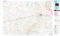 1984 Rawlins1984 Print · USGSRawlins and the high-desert basins of Carbon County are shown in the mid-1980s as a vital transportation and energy corridor. Researchers can trace the historic Overland Trail and locate coal operations like Cherokee Mine No. 1 and the State Penitentiary.
 - 1988 Map of Rawlins
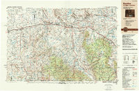 1988 Rawlins1988 Print · USGSSouthern Wyoming and the Colorado borderlands are detailed here in the late eighties, featuring the intersection of the historic Overland Trail and the Union Pacific. Researchers can trace old rail towns like Medicine Bow and Wamsutter or landmark peaks like Medicine Bow Peak.
 - 2012 Map of Riner, 2012 Print
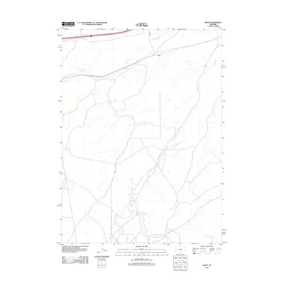 2012 Riner2012 Print · USGSRiner and the surrounding Sweetwater County plains are shown in detail during the early 21st century. Researchers can trace the railroad corridor through Riner and locate natural water features like Piker Spring and Separation Cr.
 - 2015 Map of Riner, 2015 Print
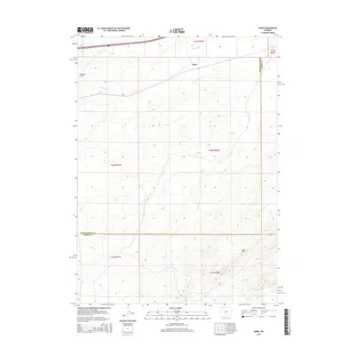 2015 Riner2015 Print · USGSHigh plains transportation and topography define this 2015 survey of the Wyoming desert. Genealogists and historians can trace the corridor where Interstate 80 and U.S. Route 30 pass near Riner and the landmark Cherokee Hill.
 - 2017 Map of Riner, 2017 Print
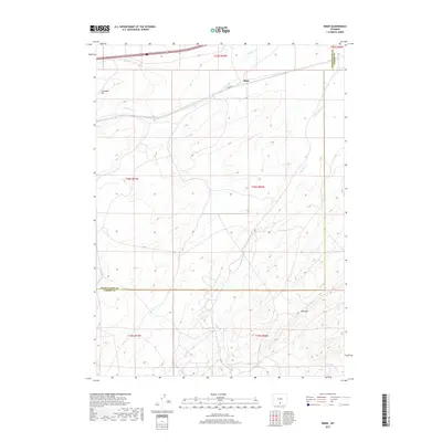 2017 Riner2017 Print · USGSRiner and the high Wyoming basin are captured here in the late twenty-tens, showing a landscape defined by seasonal creek beds and administrative divides. Researchers can trace the path of Riner Rd and locate landmarks like Cherokee Hill and the Red Rim.
 - 2021 Map of Riner, 2021 Print
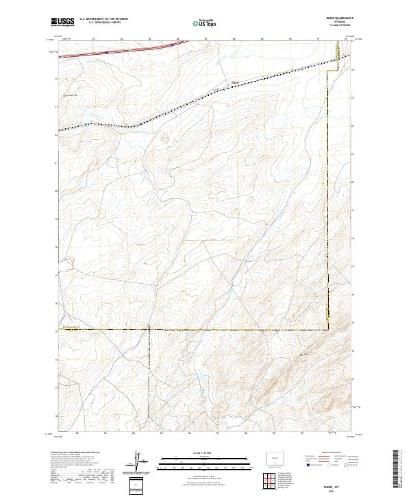 2021 Riner2021 Print · USGSSweetwater and Carbon counties meet here in the 2020s, showing a high-plains landscape shaped by sparse water and long roads. Local researchers can trace the drainages of Separation Cr and landmarks like Cherokee Hill or the remote outpost of Riner.
End of results
Showing maps 1-11 of 11
Frequently asked questions
- What are the different types of historical maps available for Riner?
- What is the oldest map of Riner?
- Where can I purchase historical maps of Riner for my home or office?
- Where can I download high-res historical maps of Riner?
- Are there historical topographic maps available for Riner?
- Is there historical aerial imagery available for Riner?
- Where are historical maps of Riner sourced from?