Old Maps of Moose, Wyoming for Genealogy
Trace your family roots with 11 historic maps of Moose. These high-res maps reveal old neighborhoods, homesites, landmarks, and streets — helping you uncover where your ancestors lived and how the area evolved over time.
- Explore historic neighborhoods: Identify where your relatives may have lived in the 1800s or 1900s.
- Compare maps over time: Trace the changes in streets, buildings, and landmarks for multi-generational research.
- Perfect for genealogy & ancestry research: Used by family historians and researchers to map out lineage and migration.
These maps are an incredible resource for exploring your personal connection to Moose's past.
Moose, WY maps
(11)- 1899 Map of Grand Teton, 1954 Print
 1899 Grand Teton1954 Print · USGSThe Teton Range and the Snake River valley appear here at the turn of the century, just as early settlers and ranchers were establishing roots in the basin. Researchers can trace historic homesteads like the Cunningham Ranch and Grovont, or locate early structures such as Teton Lodge.
 - 1901 Map of Grand Teton, 1909 Print
 1901 Grand Teton1909 Print · USGSThe Teton valley was a land of homesteads and river crossings at the turn of the century. Genealogists can trace early settler families at Grovont and numerous holdings like Cunningham Ranch or locate the historic Menor Ferry crossing.4 unique versions available
 - 1955 Map of Driggs, 1967 Print
 1955 Driggs1967 Print · USGSEastern Idaho and Western Wyoming appear at a mid-century crossroads as the river valleys were fully settled and the high peaks protected. Genealogists and researchers can trace the rail towns of Rexburg and Driggs or follow the Snake River from Irwin to the Palisades Reservoir.3 unique versions available
 - 1958 Map of Driggs
 1958 Driggs1958 Print · USGSThe high Teton peaks and Snake River valleys are captured here in the mid-fifties, showing the region's agricultural and wilderness boundaries. Researchers can trace the Union Pacific rail corridor through Rexburg or locate early settlements like Clementsville and Tetonia.2 unique versions available
 - 1962 Map of Driggs
 1962 Driggs1962 Print · USGSThe Idaho-Wyoming borderlands are captured here in the early sixties, showing the peaks and valleys of the northern Rockies. Genealogists and historians can trace rail lines like the Union Pacific RR and isolated outposts like the National Elk Refuge or the Fort Hall Indian Reservation.
 - 1968 Map of Moose, 1971 Print
 1968 Moose1971 Print · USGSGrand Teton National Park in the late sixties reveals a landscape of historic ranches and early park infrastructure along the braided Snake River. Researchers can trace the homesteading roots of Mormon Row, visit the iconic Chapel of the Transfiguration, or locate the site of Menors Ferry.2 unique versions available
 - 1981 Map of Jackson Lake
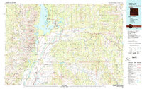 1981 Jackson Lake1981 Print · USGSGrand Teton National Park and its surrounding wilderness are captured here in the early eighties. Researchers can trace high-altitude peaks like Mount Moran down to valley landmarks such as Jackson Lake Lodge, Colter Bay Village, and the Jackson Hole Airport.2 unique versions available
 - 2012 Map of Moose, 2012 Print
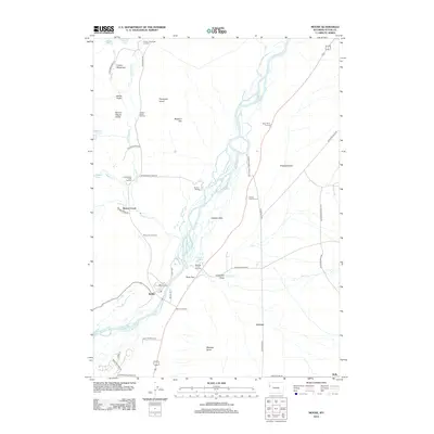 2012 Moose2012 Print · USGSThe Teton valley near Moose is captured here in the early twenty-first century, showcasing a landscape defined by ranching history and the winding Snake River. Researchers can trace the layout of historical sites like Mormon Row, Menors Ferry, and the Bar B C Ranch across the flats.
 - 2015 Map of Moose, 2015 Print
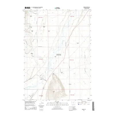 2015 Moose2015 Print · USGSJackson Hole and the eastern front of the Tetons are revealed in this study of the landscape in the mid-2010s. Genealogists and local historians can trace the historic properties along Mormom Row and the legacy of early settlements like Grovont and Kelly.
 - 2017 Map of Moose, 2017 Print
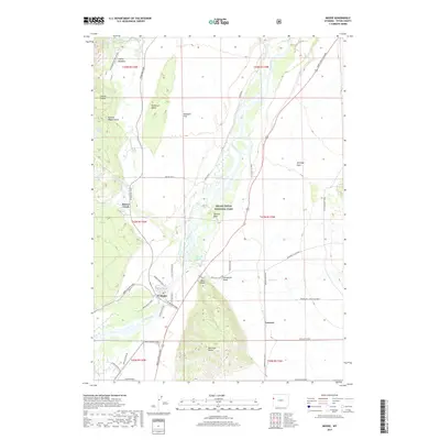 2017 Moose2017 Print · USGSThe Teton valley near Moose appears in great detail during the twenty-first century, showcasing the intersection of historic ranching and protected wilderness. Trace the legacy of early settlers along Mormon Row Road and Menors Ferry Road near Grovont.
 - 2021 Map of Moose, 2021 Print
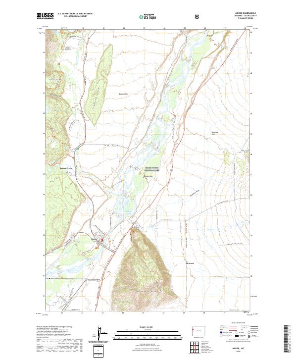 2021 Moose2021 Print · USGSThe Teton valley landscape comes into focus here during the early twenty-first century, showcasing the intersection of park management and pioneer legacy. Researchers can trace historic access routes like Menors Ferry Road and find the rural community of Grovont.
End of results
Showing maps 1-11 of 11
Top cities near Moose
Frequently asked questions
- What are the different types of historical maps available for Moose?
- What is the oldest map of Moose?
- Where can I purchase historical maps of Moose for my home or office?
- Where can I download high-res historical maps of Moose?
- Are there historical topographic maps available for Moose?
- Is there historical aerial imagery available for Moose?
- Where are historical maps of Moose sourced from?