Old Maps of French Vee, Wyoming
Explore 9 old maps of French Vee, spanning from 1955 to today. These high-resolution historic maps reveal how streets, neighborhoods, landmarks, and natural features evolved over time — perfect for genealogy, metal detecting, research, and local history exploration.
What you can do with these maps:
- See how French Vee changed over time: Compare historical maps to modern-day views to trace roads, homesites, rail lines & more.
- View detailed metadata: Each map includes creators, publishers, year, scale, and archive source.
- Overlay maps with satellite & LiDAR: Visualize the past alongside modern tools to explore terrain & human change.
- Trusted historical sources: Maps sourced from the USGS, Library of Congress, and other archives.
- Access maps your way: View online, download high-res files, or order prints for personal or research use.
Start exploring old maps of French Vee to uncover forgotten places, hidden landmarks, and the deep history beneath your feet.
French Vee, WY maps
(9)- 1955 Map of Arminto, 1976 Print
 1955 Arminto1976 Print · USGSCentral Wyoming at the mid-century shows a landscape of energy reserves and high-plains ranching. Genealogists and historians can trace the Burlington Northern line through Lost Cabin and the famed Teapot Dome Naval Petroleum Reserve No 3.2 unique versions available
 - 1958 Map of Arminto
 1958 Arminto1958 Print · USGSCentral Wyoming in the late fifties was a landscape of high-plains energy and remote rail outposts. Researchers can trace the Chicago Burlington and Quincy railroad through towns like Arminto and Waltman or locate landmarks like Teapot Rock.
 - 1962 Map of Arminto
 1962 Arminto1962 Print · USGSCentral Wyoming in the early sixties reveals a landscape shaped by the Chicago and North Western railroad and early energy development. Trace the history of the region through remote outposts like Arminto, the US Naval Petroleum Reserve, and the geologic landmark at Hells Half Acre.
 - 1967 Map of Horse Butte, 1971 Print
 1967 Horse Butte1971 Print · USGSWashakie County ranchlands and canyon country are shown here in the late sixties as the region supported seasonal livestock movement. Researchers can trace the path of the Big Trails Stock Drive Road and find remote landmarks like French Vee and Mulligan Hole.
 - 1979 Map of Nowater Creek, 1980 Print
 1979 Nowater Creek1980 Print · USGSWashakie County ranch lands and drainage basins are captured in detail during the late seventies, showing a landscape of scattered oil fields and seasonal watercourses. Genealogists and historians can trace the Burlington Northern rail line and remote outposts like Nowood and Hampton Ranch.
 - 2012 Map of Horse Butte, 2012 Print
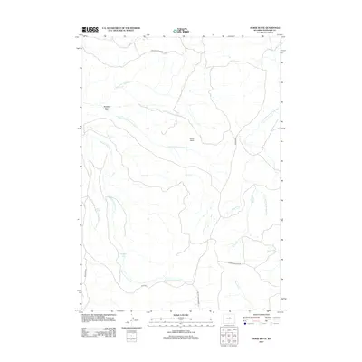 2012 Horse Butte2012 Print · USGSCovers French Vee, including Washakie County, United States, and other nearby areas
 - 2015 Map of Horse Butte, 2015 Print
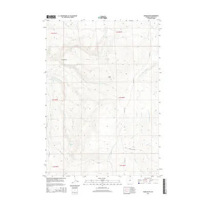 2015 Horse Butte2015 Print · USGSCovers French Vee, including Washakie County, United States, and other nearby areas
 - 2017 Map of Horse Butte, 2017 Print
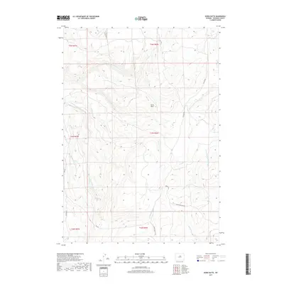 2017 Horse Butte2017 Print · USGSCovers French Vee, including Washakie County, United States, and other nearby areas
 - 2021 Map of Horse Butte, 2021 Print
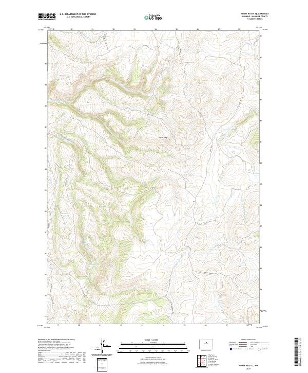 2021 Horse Butte2021 Print · USGSHigh in the southern Big Horn Mountains, this recent survey captures the complex drainage of the Red Fork Powder River and its rugged tributaries. Researchers can trace historic mountain routes like Dry Farm Rd and Hazelton Rd while locating family landmarks such as Mulligan Hole.
End of results
Showing maps 1-9 of 9
Frequently asked questions
- What are the different types of historical maps available for French Vee?
- What is the oldest map of French Vee?
- Where can I purchase historical maps of French Vee for my home or office?
- Where can I download high-res historical maps of French Vee?
- Are there historical topographic maps available for French Vee?
- Is there historical aerial imagery available for French Vee?
- Where are historical maps of French Vee sourced from?