
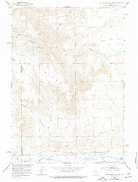
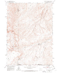
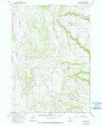
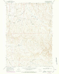
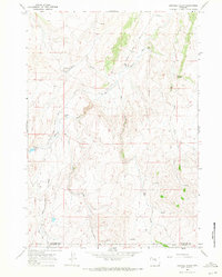
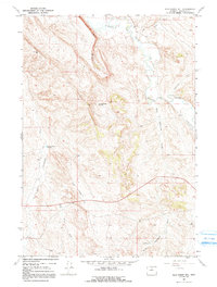
1967 Map of Horse Butte
USGS Topo · Published 1971This historical map portrays the area of Horse Butte in 1967, primarily covering Washakie County. Featuring a scale of 1:24000, this map provides a highly detailed snapshot of the terrain, roads, buildings, counties, and historical landmarks in the Horse Butte region at the time. Published in 1971, it is the sole known edition of this map.
Map Details
Editions of this 1967 Horse Butte Map
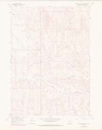
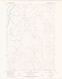
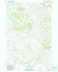
This is the sole edition of this map. No revisions or reprints were ever made.
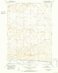
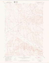
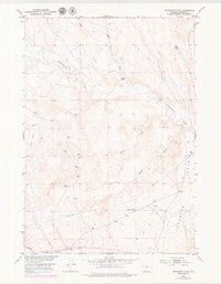
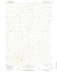
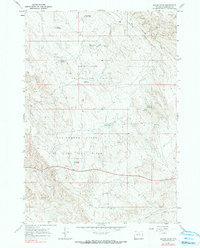
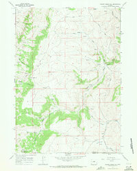
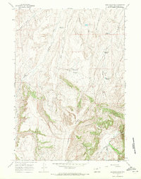
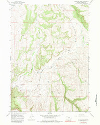
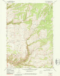
Historical Maps of French Vee Through Time
38 maps found
1951 Dutch Nick Flat SW
Washakie County, WY
1951 Dutch Nick Flat
Washakie County, WY
1951 Schuster Flats SE
Washakie County, WY
1951 Schuster Flats
Washakie County, WY
1952 Battle Mountain
Washakie County, WY

1966 Bader Draw
Washakie County, WY
1966 Banjo Flats East
Washakie County, WY
1966 Banjo Flats West
Washakie County, WY
1966 Big Trails NE
Washakie County, WY
1966 Big Trails
Washakie County, WY
1966 Cabin Fork
Washakie County, WY

1966 Castle Gardens
Washakie County, WY

1966 Deadline Draw
Washakie County, WY
1966 Henry Draw
Washakie County, WY

1966 Indian Creek
Washakie County, WY
1966 Joe Emge Creek
Washakie County, WY

1966 Monument Hill
Washakie County, WY

1966 Sand Point
Washakie County, WY

1966 Tallon Spring
Washakie County, WY
1966 Wagon Prong
Washakie County, WY
1966 Zimmerman Buttes
Washakie County, WY
1967 Broom Draw
Washakie County, WY
1967 Cherry Creek Hill
Washakie County, WY
1967 Cornell Gulch
Washakie County, WY
1967 Horse Butte
Washakie County, WY
1967 Lightning Ridge
Washakie County, WY

1967 Lost Creek
Washakie County, WY
1967 Mahogany Butte
Washakie County, WY

1967 Old Maid Gulch
Washakie County, WY
1967 Onion Gulch
Washakie County, WY
1967 Wild Horse Hill
Washakie County, WY
1967 Worland SE
Washakie County, WY

1979 Nowater Creek
Washakie County, WY

1985 Blue Mesa East
Washakie County, WY
1985 Chimney Gulch
Washakie County, WY

1985 Neiber
Washakie County, WY
1993 Old Maid Gulch
Washakie County, WY

1993 Onion Gulch
Washakie County, WY